Please pay no mind to this…mtbguru is down and this looks like some free webspace where I can park my ride report until it's back up :-) This is boring and all self-centered and I'll be noodling with the words and photos for a week…
You guys into a bit of tree clearing on North Fork Trail this Saturday? Kind of a mess out there and I need some good arms. Roy
This week's fallen tree removal project is way out there. The plan is: Hunting Hollow 9am » Hunting Hollow Road » Lyman Willson Ridge Trail » Bowl Trail » Willson Camp » Wagon Road » Center Flats Road » Scherrer Trail » Kaiser Aetna Road » North Fork Trail.
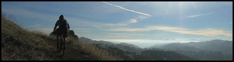
Eric S and Brett are also joining Roy. I’m slower so I start ahead of them at 8:30am. Mike rode with me for the first part of the day:


The SWECO safely under cover for the winter at Willson Camp:

10:22am We reach the intersection of Wagon Road and Center Flat Road and have a bite to eat. We wait a little, wondering if the others will appear. Mike decided to forego the ride out to the backcountry and splits off here. (
Mike’s Strava)
Looking back, wondering “Where are those guys?”—Moon over Center Flats Road:

This was my first time on Center Flats Road since the recent grading. Didn’t like.
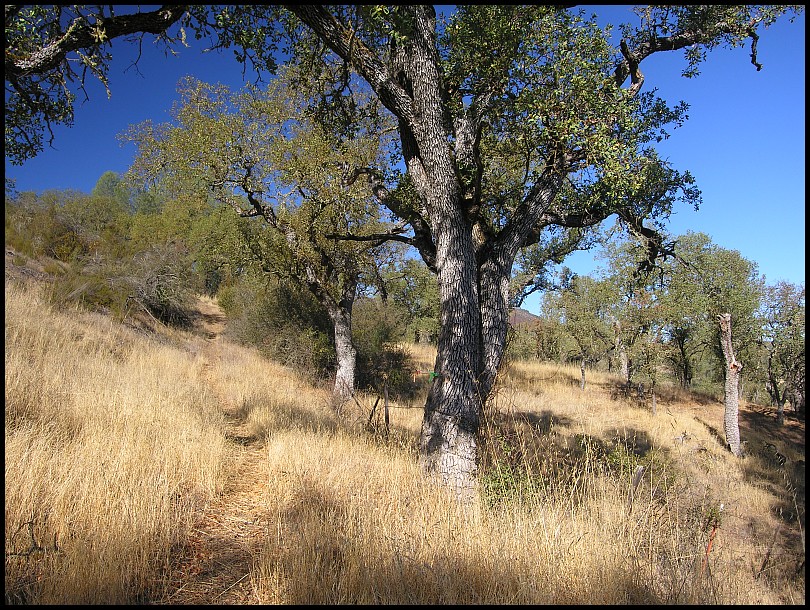
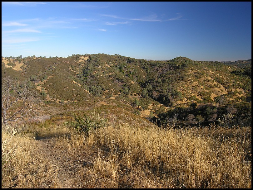
Much more enjoyable was the Scherrer Trail descent:
At the bottom, the most massive dirt road anywhere, Kaiser Aetna Road:
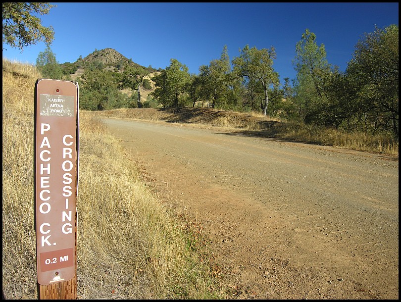
I think that is Tie Down Peak in the background
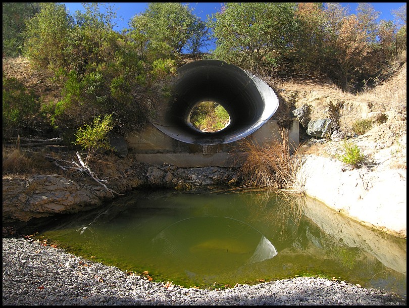
0.2 miles down the road…the culvert under Kaiser Aetna Road (near Hole-in-the-Rock falls):
11:00am At the nearby picnic bench, I take another food break and wonder “Where are those guys?”
After 15 minutes I start riding the North Fork Trail stopping here or there to trim back the foliage.
11:45am I reach our target:
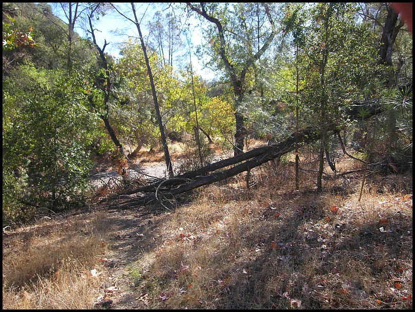
Yeah, it’s a mess:

To kill time while waiting for the group, I walk back on the North Fork Trail cutting back more foliage. When I return I find (l to r) Brett, Roy, and Eric busy at work:

They had changed their route to Vasquez Road » Dormida Trail » Center Flats Road » Hersman Pond Trail » Kaiser Aetna Road » Dowdy Ranch » Mack's Corral Trail » North Fork so they had come from the other direction.
It was big job, both sawing and moving the logs. Once that was done, inexplicably, they decided the gully needed to be armored:

Well, it is a lot of fun puzzling out how the pieces fit:

Once finished, Roy test rides it:
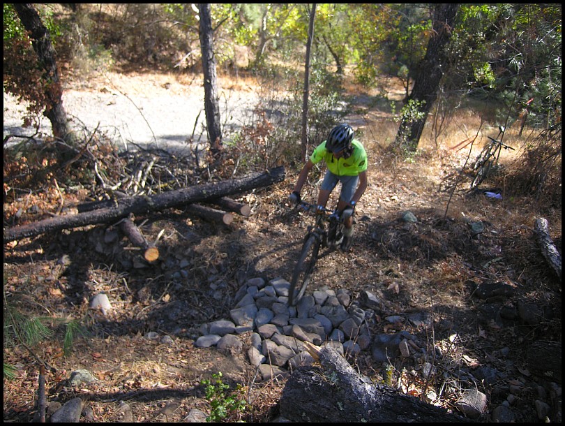
Nice! It’s the best 10 feet of the whole North Fork Trail.
1:40pm We leave the site:

Roy on North Fork Trail

Eric followed by Brett on North Fork:

Roy and Eric wanted to show Brent the Hole-in-the-Rock falls. The Kaiser Aetna » County Line » Coit series of dirt roads was next. Mind numbing. I decided to go ahead figuring they would catch up with me. Our meet up point would be Coit Road and Pacheco Ridge Road, and from there I’d show Roy Phoneline Road (I had pointed out the top to Roy last week so he knew where it was).
3pm I reach the Coit Road and Pacheco Ridge Road intersection. After 25 minutes I give up waiting. Did they alter their route again?
I left them a message:
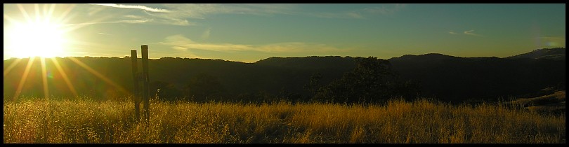
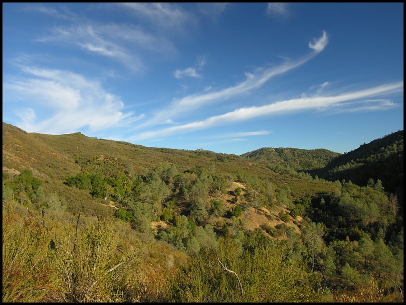
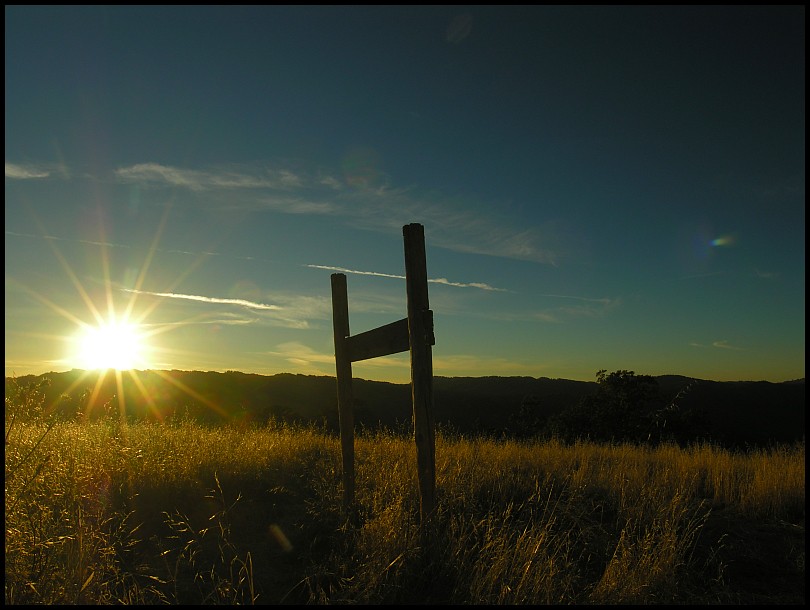
…and headed on → Pacheco Ridge Road → Ridge Trail → Pacheco Creek Trail → Rose Dam Trail where I stopped to take this What It Was Like Out There™ photo:
Ha, I spot Roy and Brett descending Phoneline Road. They’re the two tiny dots in the white circle:

Inexplicably, 50 feet further on, Wrong Way Roy missed the obvious left turn and went right. I shouted “Nooooooooooooo” but they couldn’t hear me. They quickly realized their error and were soon back on the right track.
I went by the Hoover Lake and descended the Fourth Trail…. What It Was Like Out There™ photo of the Kelly Cabin Canyon.
Dead center on the horizon is the big rock outcropping. Okay, it is very tiny in this photo.
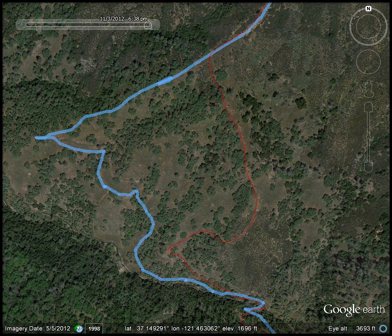
Roy and Brett also took the Fourth but Wrong Way Roy again missed the left turn and the two went on a little adventure off the beaten path (red line = normal path, blue line = WWR):
After that, there’s one last big climb up the Cross Canyon Trail followed by a few fireroad miles…the payoff is the very fun Domino Pond Trail » Cattle Duster Trail » Coit Springs Trail » Grapevine Trail » Anza Trail series of single track. Most of this is downhill.
5:38pm At the Cattle Duster the sun is low:
…but there is enough daylight left to get back to the car without lights. Sundown was at 6:06pm and my ride ends at 6:28. Eric had split off early and was gone already. Roy and Brett arrived a few minutes after me (they skipped Domino Pond Trail » Cattle Duster Trail).
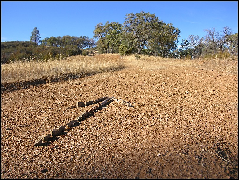
Start at Hunting Hollow » Hunting Hollow Road » Lyman Willson Ridge Trail » Bowl Trail » Willson Camp » Wagon Road » Center Flats Road » Scherrer Trail » Kaiser Aetna Road » North Fork Trail » Remove fallen tree. North Fork Trail » Kaiser Aetna Road » County Line Road » Coit Road » Pacheco Ridge Road » Ridge Trail » Pacheco Creek Trail » Rose Dam Trail » White Tank Trail » Hoover Airstrip » Hoover Lake » Hoover Lake Trail » Willow Ridge Road » Fourth Trail » Cross Canyon Trail » Coit Road » Wasno Road » Domino Pond Trail » Cattle Duster Trail » Coit Springs Trail » Grapevine Trail » Anza Trail » Coit Road » Coyote Creek gate » Gilroy Hot Springs Road » Hunting Hollow parking. 35.57 / 5:54 / 9:57 / 6,857'
Roy's StravaWe cleared that massive tree blocking part of North Fork Trail! Hooray! It was painful to lift the bike over it all the times I went out there so I feel good. Went with Eric, Charlie and Brett. Eric and Brett made a rock fill on the dip where the creek crosses. We found all the proper rocks that fit well to make a nice flat ride with that familiar weight over rocks sound when we tried it out. A lot of sawing of fat limbs and trunks but very satisfying. Also, we cleared logs in the way of the trail to get to Hole-In-The-Rock. Water is very low there. I found a biiiiiiiiiiiiiiiiiig balloon near the 4th trail. Thomas The Tank Engine. Big! A lot of fun. Sadly, the last ride of summer. The days will be so short that I'll only be able to ride a loop in the HH parking lot then go home. Damn.
Brett's StravaGilroy:

Cordoza Ridge