We're at Vicki's sister's house relaxing still over breakfast and coffee (actually the teenager is still asleep). Thanksgiving Day is shaping up to be gorgeous. I plan on "cleaning" the last topo I have to clean for the book, and then the girls and I will (per a long family tradition), be kicked out to walk to the beach while Vicki and Kaaren prepare food and talk, and get stuffing ready and visit, and get the turkey in the oven and catch up with each other, and.... Well I think that presents the general pattern.
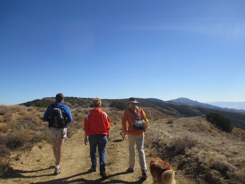
On the way down here we diverted to the eastern edge of San Luis Obispo County to hike to it's highpoint, Caliente Peak. It's not that high at just over 5,100 feet, but it's a longer hike as California county highpoints go: it's just over 16 miles (round trip). Katie, Tricia, Charlotte and I picked this one off on Tuesday in perfect weather. Vicki and Madeleine shared part of the hike.
This highpoint sits way out toward I-5, in a dry/not-quite-desert area of the state. We drove out from Paso Robles to start the hike at about 11:00 a.m. (which may have been a little late since we didn't finish until dark; we seem to be pretty casual about long hikes nowadays):

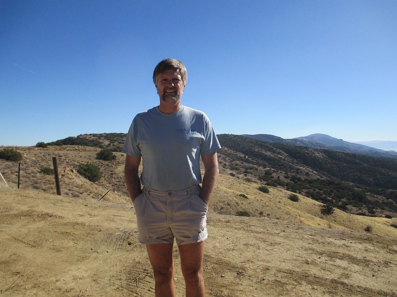

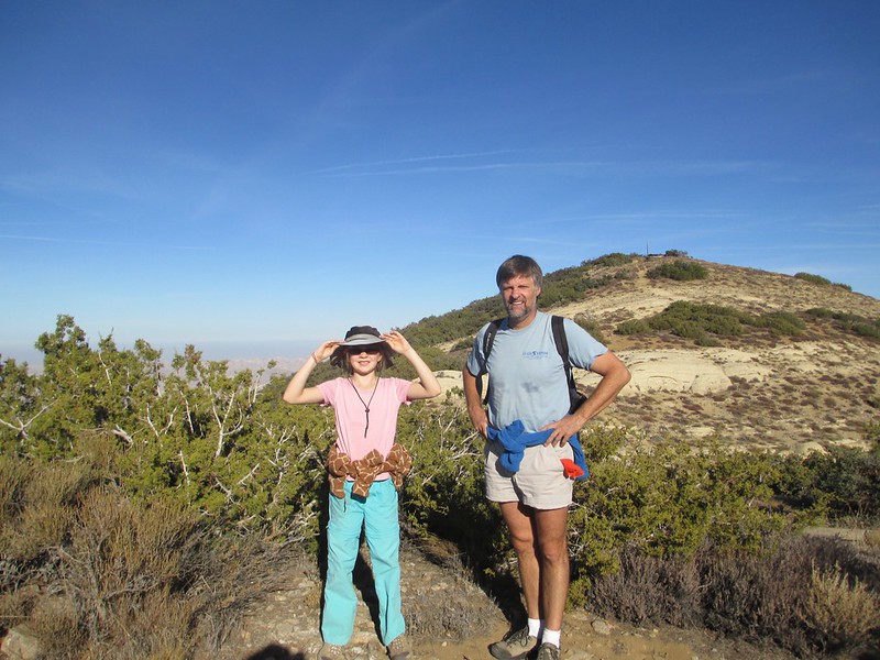
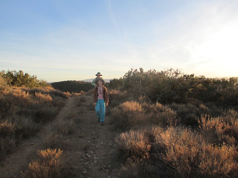
The hike is not exactly in wilderness. It follows an old road to a very old, fallen down lookout tower that is on the summit of the peak. The route gains only 1600 feet in eight miles:
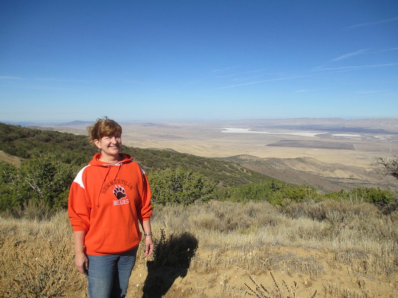
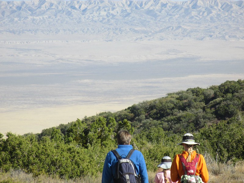
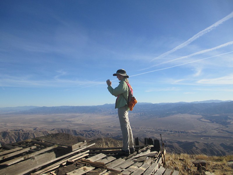
The views of Carrizo Plain National Monument are great:

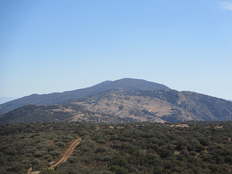
The highpoint is a bigger bump on the ridge than the other, similar bumps:
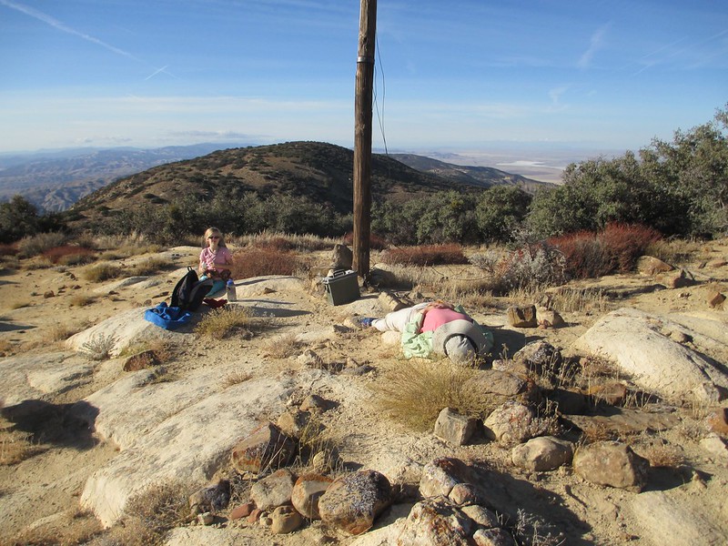
The highest point of land atop the peak is at the corner of the collapsed lookout tower:
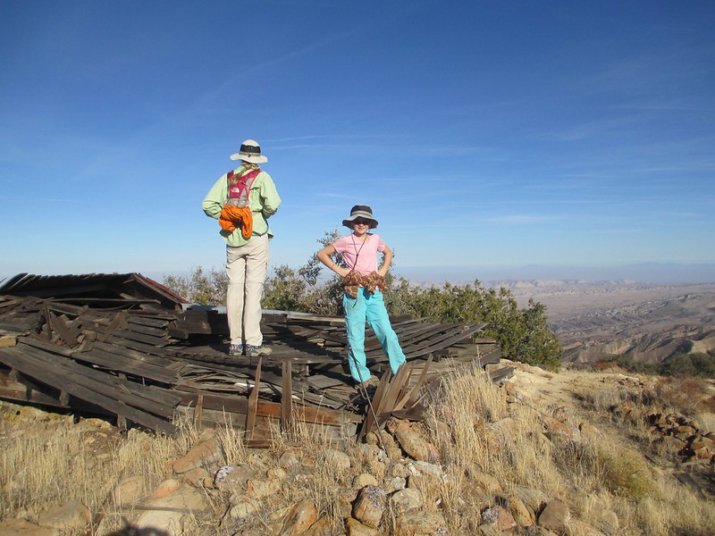
We summitted at 2:30 in the afternoon, after which we rested and finished our lunches:
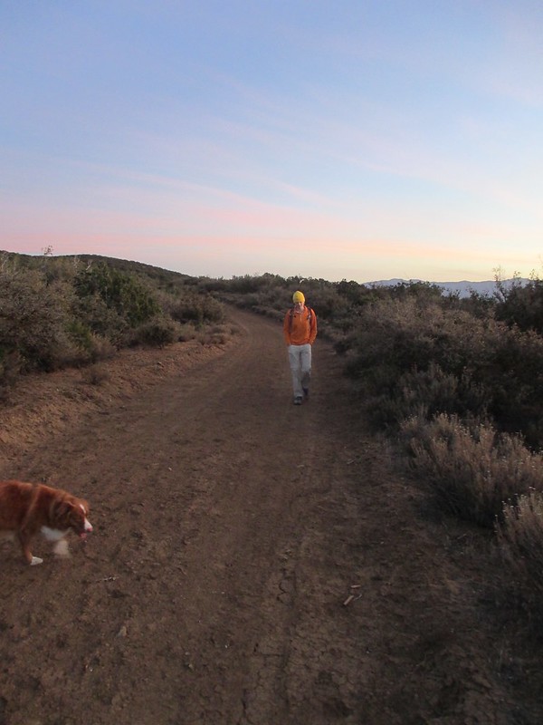
We haven't been hiking much lately, so 16 mies was a big hike. We finished at dark, pretty tired and with a long drive ahead:
Still, it was a day well spent. I've now done 41 out of California's 56 county highpoints (two of the state's 58 counties share a single highpoint). Katie has done just over half of them, and Tricia has done almost twenty. It's a good way to see parts of the state that we wouldn't see otherwise.
Happy Thanksgiving everyone.


