A reoccurring theme in recent route discussions with Greg was that he’d never been to the remote Bear Mountain Peak area west of Mississippi Lake. He’s ridden everywhere else in Coe, that network of abandoned jeep roads on the old Levey maps was the only new place left to see.
I’d been out in the Bear Mountain Peak area some in 2008. This was just months after the big fire (2007 Lick Fire), the brush had been burned back and the obscure roads exposed. The usual suspects were exploring these and I got shown around a couple times. Often the track was very faint and the terrain featureless. There’s zero signage. I never felt confident I could ever successfully navigate the route again so I’d never been back.
So it was a scary/exciting prospect to ride out there but Greg has remarkable navigational skills. In the days before we familiarized ourselves with the area using GoogleEarth, printed-out the old Levey map, and Greg put the OSM route in Motion-X GPS on his iphone.
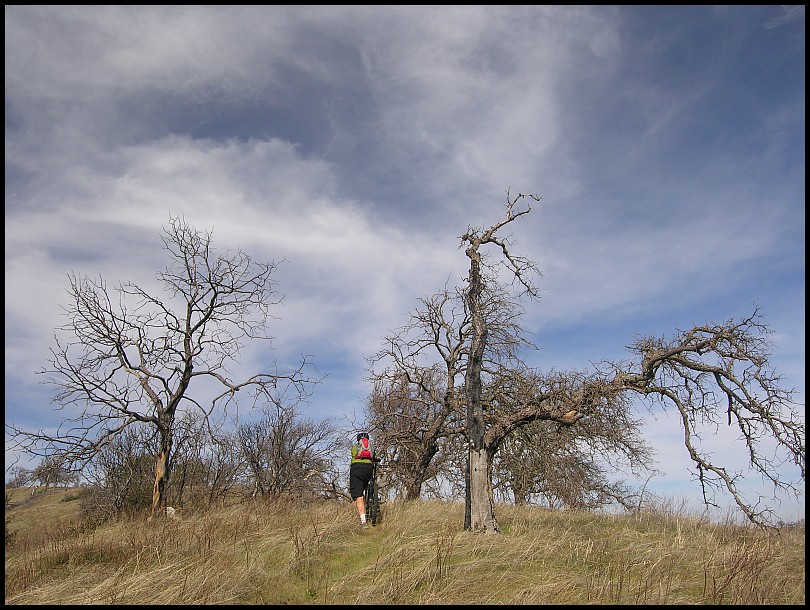
8:15am Saturday morning of President’s Day weekend we set off. Up Lyman Willson Ridge and on to Wagon Road. Approaching Coit Lake we split-up for a few miles. Greg taking a longer route to hit a few fun trails (Fish & Game Trail » Coit Lake Perimeter Trail » White Tank Trail » Rose Dam Trail to Pacheco Creek). Wanting to “save my matches” for the expected tough afternoon, I went a direct route of Coit Road » Coit Dam/Ridge Trail to Pacheco Creek. I paused to take a few photos…
…and had a casual sandwich break, too casual as Greg beat me to the rendezvous spot.
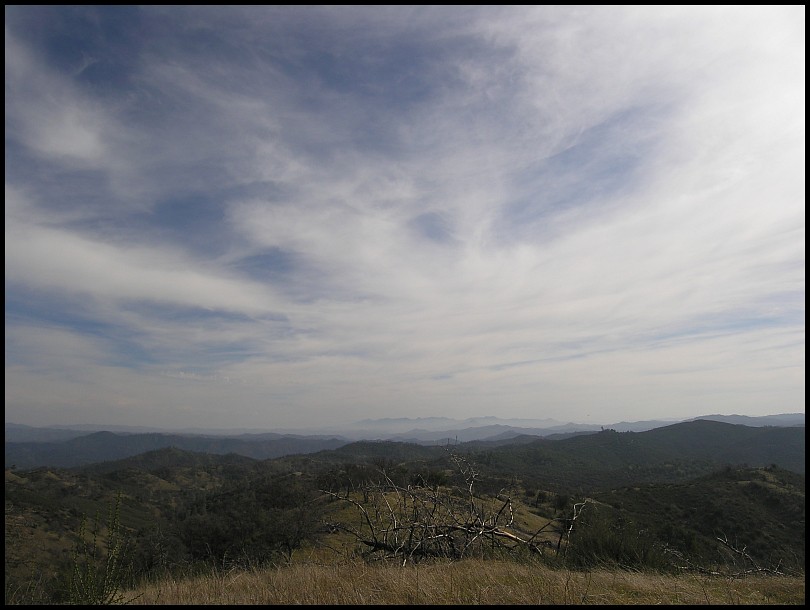
Pacheco Creek Trail to Willow Ridge Road where at noon we stop and look over the afternoon’s terrain – A Bear Mountain Peak, B 2,595' peak, and the road cut just above C, the McAlllllister Trail

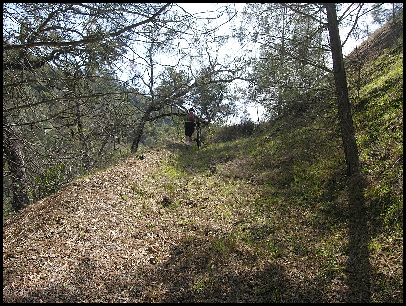
12:30pm, Bear Mountain Peak Trail (south) - It has taken us just over 4 hours to ride here, now the adventure begins:
Initially the McAlllllister Trail is pretty good:

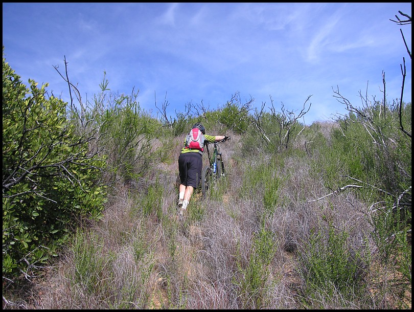
Two minutes later, the bushwhacking begins:

Two more minutes, the thorny Ceanothus relentlessly shred my shins and snag the bike. This is the best method to keep moving forward:

I was so grateful that this wasn’t the season for Chamise to be coated with the gritty, brown powder from their dried-up flowers.
12:50pm - We reach the lowest point of McAlllllister and now have to climb up this old road:
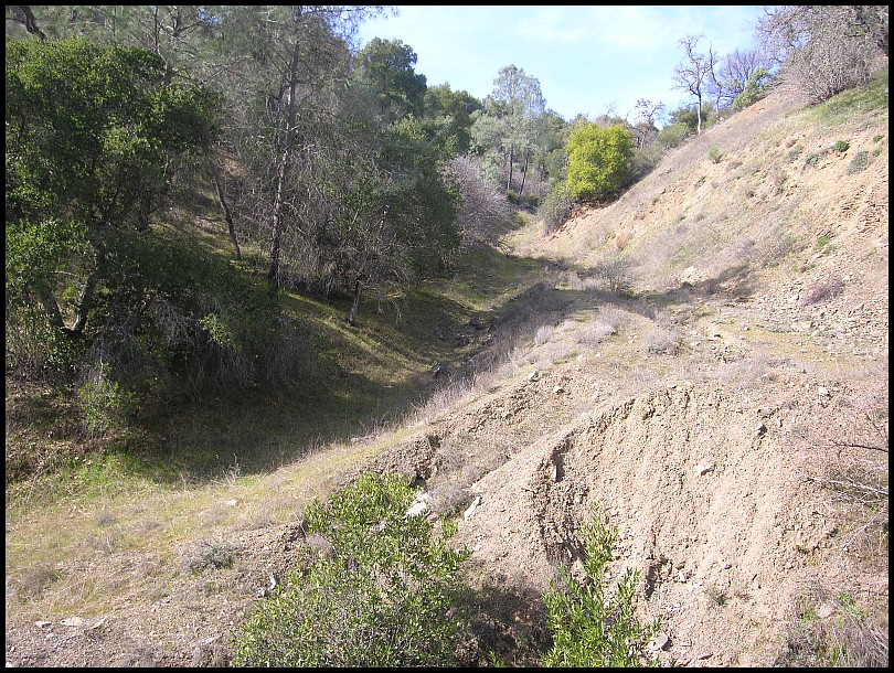
It’s steep but at least the tread is well defined. Around the hill to the right is point “C” on the photo above.
Once the road cut ends, we are pushing our bikes uphill along a rusty fenceline (hidden on the left).
Greetings from McAlllllister:
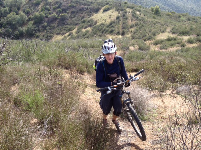
photo Greg
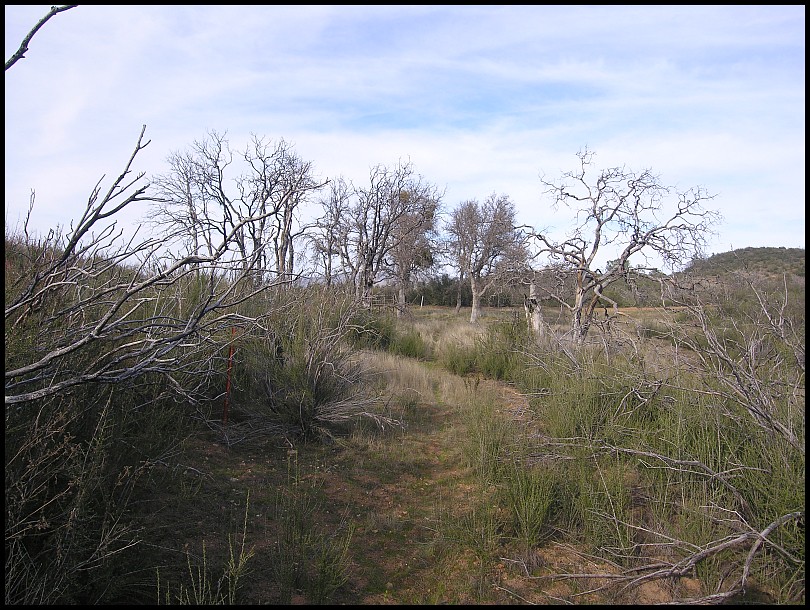
I hope that the photos convey the degree of difficulty here. The scrub-brush has been scratching my raw shins and it’s very steep with only a hint of a tread. It’s taken us an hour to cover 1½ miles.…we’re now approaching Bear Mountain Peak Trail (south):
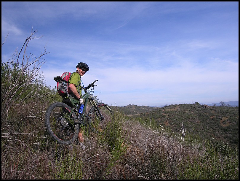
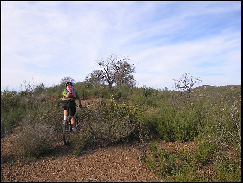
This is Bear Mountain Peak Trail (south):
2 pm – What It Was Like Out There™…the view from the top of 2.595' peak (B above):
Right at the very top, Greg scored a Spiderman balloon:

<a href="
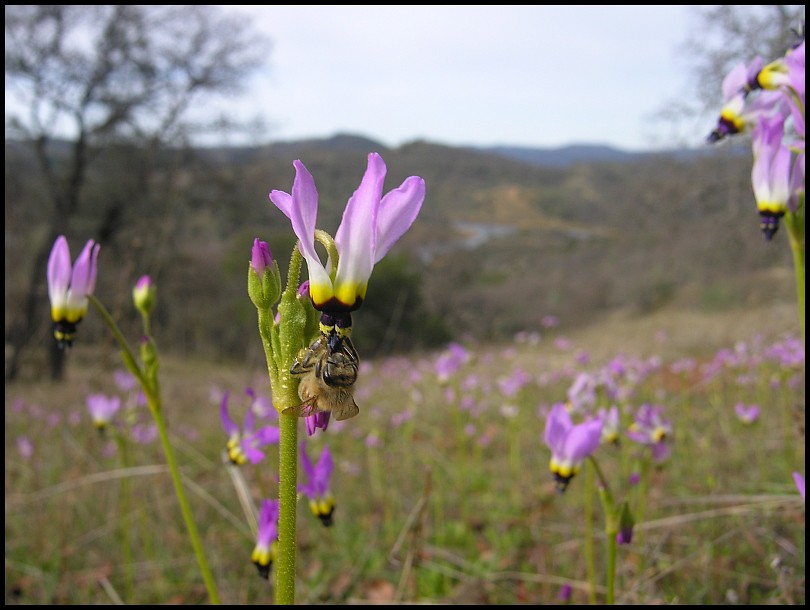
">Rose in the heather[/url], and in the background, Greg verses Bear Mtn Peak:

(actually Fuchsia Flowered Gooseberry)
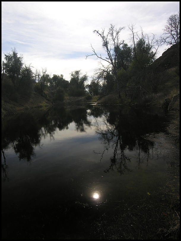
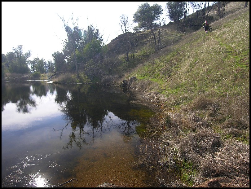
2:30pm - Looking like a Black Lagoon, Chair Pond:
Of course, the way out is more hike-a-bike:
Greg looking back:
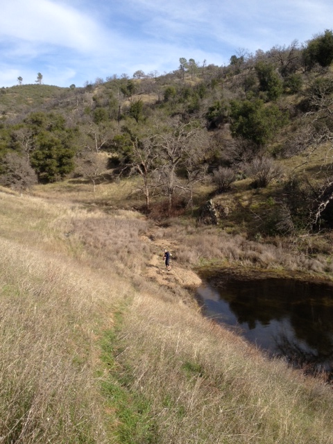
photo Greg
As you’re struggling through remote areas, it’s so encouraging to see stuff like this:
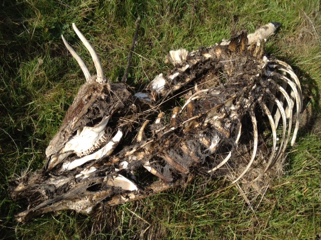
photo Greg
Finally, on the peak to the right, Bear Mountain Road is visible:
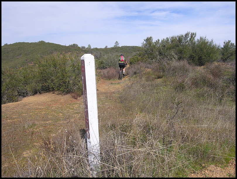
3:30pm - The last tenth-of-a-mile of Bear Mountain Peak Trail (north), the sign post is dead center:
For our Willow Ridge Road to Bear Mountain Road segment, the track data computes in GoogleEarth to 4.19 miles and +1,457’/-1,269’. It’d been an arduous 3 hours. We were tired and now there was a long ride back. Ah but coasting down Bear Mountain Road is easy.
We tried to keep our feet dry as we criss-crossed the East Fork Coyote Creek on Bear Mountain Road and the Narrows Trail. We reached Los Cruzeros at 5pm. There are a few camps set up nearby. As we filtered water, Ranger Jenn drives by, gives a quick “You guys good?” and then gassed it up the Mahoney Wall. Damn!, we shoulda asked for a ride. We pedaled and pushed our way up and our chains complained so they were fed oil at the top.
6pm - We stop to put on lights at the Grapevine rockgarden. There is a bit of a delay as my battery doesn’t work. Greg lent me one of his (thank you!).
7pm - Hunting Hollow parking. Whew, mission accomplished!
Start at Hunting Hollow » Hunting Hollow Road » Lyman Willson Ridge Trail » Bowl Trail » Willson Camp » Wagon Road » Coit Road » Coit Dam Trail » Coit Ridge Trail » White Tank Trail » Coit Road » Pacheco Camp » Pacheco Creek Trail » Willow Ridge Road » Bear Mountain Peak Trail (south) » McAlllllister Trail » Bear Mountain Peak Trail (south) » Bear Mountain Peak Trail (north) » Bear Mountain Road » Narrows Trail » Mahoney Meadows Road » Lost Spring Trail » Mahoney Meadows Road » Coit Road » Cross Canyon Trail » Coit Spring Trail » Grapevine Trail » Anza Trail » Coit Road » Coyote Creek gate » Gilroy Hot Springs Road » Hunting Hollow parking. 35.70 / 6:54 / 10:42 / 5,964’
Gilroy:

Cordoza Ridge: