A continuation of the Phoneline Project…
After a week of 90º days, it's nice to have the AC (fog) back. Predicted max temp, 83º, is within my operating range so I can pick-up where I left off on this one.
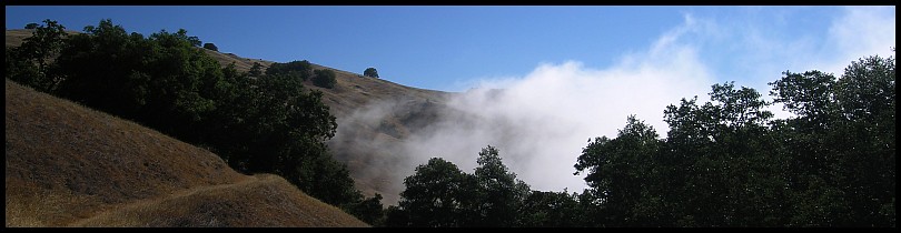
Hunting Hollow, 8am, is shrouded by fog, and the old ramada gone:
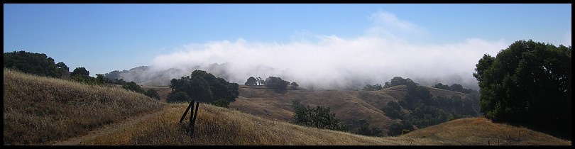
Are they building a replacement in the area inside the orange fencing on the left? There are a few large post holes there but that’s all.
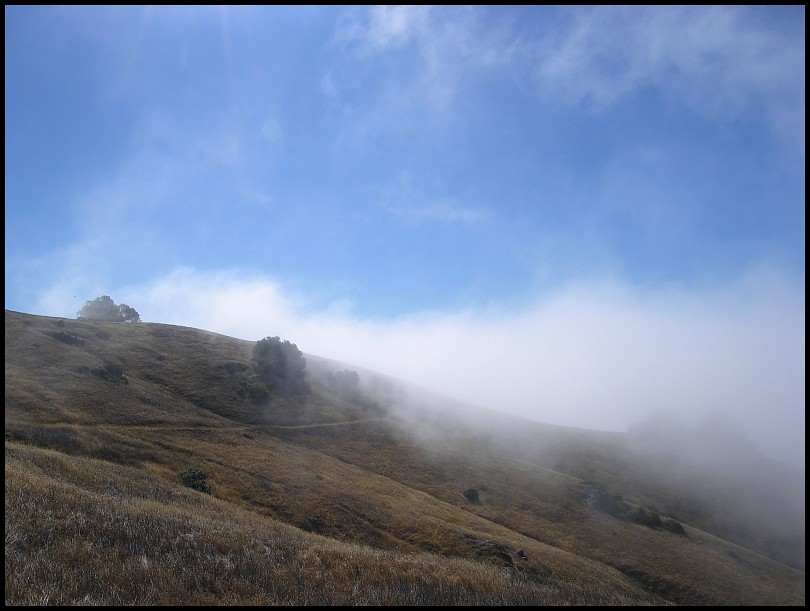
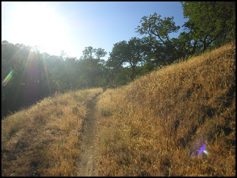
I begin by climbing the Lyman Willson Ridge Trail and pop out of the fog at Bowl Trail:
On my way to Phoneline, I stopped near Wasno Pond and spent about an hour brushing Upper Kelly Cabin Canyon Trail. No pictures.
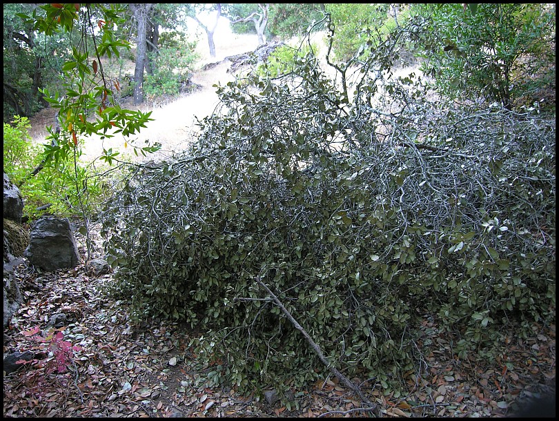
Okay, this is what I left undone last time. Doesn't look like much but actually there were many small Chamise shoots, lots of snip,snip,snip...
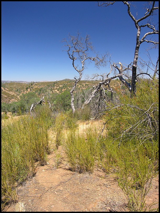
I think I got it perfect!:
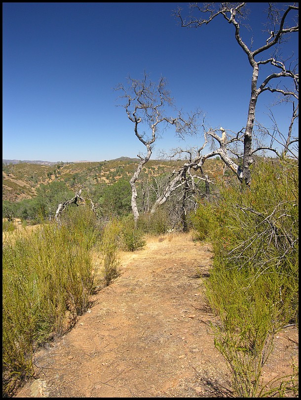
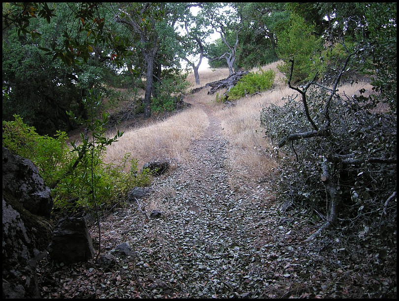
I went back and widened some of the prior work here. I foresee branches from the plants along the edge of the trail flopping into the open area so I wanted to account for that. When I was done, I took one last "after" photo:
I was very happy with the results here.
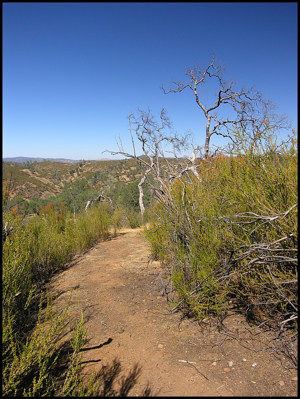
As a reminder, the "before" for this spot (from 22 June 2013):
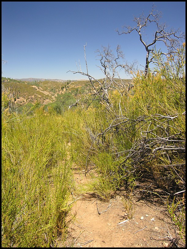
Next I rolled downhill to the other side of the meadow to the Chamise Tunnel which Greg B and I opened up last year and did some more brushing there. This is what it looks like:

At 5pm, I packed up and headed back. Water stop at Pacheco Camp and then return on my normal route. It’s the Saturday of a 4 day Fourth of July weekend and this was my 3rd day in a row riding. Usually that is a problem for me but today I felt pretty good, even at the end.
Descending Grizzly Gulch, I came upon a group of turkeys on the trail, tried to get a photo of them scurrying ahead of me:
…but they’re too far away (they're barely visible at the far end of the trail). While this was a Fail at photographing the turkeys, I think it nicely represents riding Grizzly Gulch late in the day.
Just when I'm thinking I can auto-pilot Grizzly Gulch the rest of the way back...ugh, a fallen Oak blocking the trail:
At that point, I wanted to just squeeze around it; it was getting dark and I was ready to end the ride. I stared at it for a few minutes then got the saw out…
Lots of small branches to snip-snip-snip. I was stopped here for 40 minutes. Still, I made it back to the car at 8:30pm, right about sunset on these long days.
I'm ending this week's report by giving the 2013 Phoneline Project the Completed stamp:

Yay!
Start at Hunting Hollow » Hunting Hollow Road » Lyman Willson Ridge Trail » Bowl Trail » Willson Camp » Wagon Road » Fish & Game Trail » Coit Road » Coit Lake Perimeter Trail » Coit Dam Road » Willow Ridge Road » White Tank Spring Road » White Tank Spring Trail » Rose Dam Trail » Pacheco Creek Trail » Pacheco Camp » Coit Road » Pacheco Ridge Road » Phoneline Trail - ad hoc trailwork » Coit Road » Pacheco Ridge Road » Ridge Trail » Pacheco Creek Trail » Pacheco Camp » Coit Road » Live Oak Spring Trail (lower) » Wagon Road » Tule Pond Trail » Grizzly Gulch Trail » Coit Road » Coyote Creek gate » Gilroy Hot Springs Road » Hunting Hollow parking. 29.30 / 4:51 / 12:04 / 5,455'
Gilroy:

Cordoza Ridge: