A day with cool temps and 15½ of hours of daylight looked good for an attempt to break my PR for the HardCOEre 100km; at 14:36 it’s the slowest and includes an hour for fixing a broken derailleur cable. How hard could it be it do better?
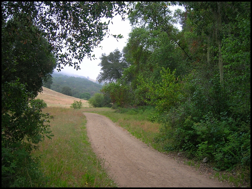
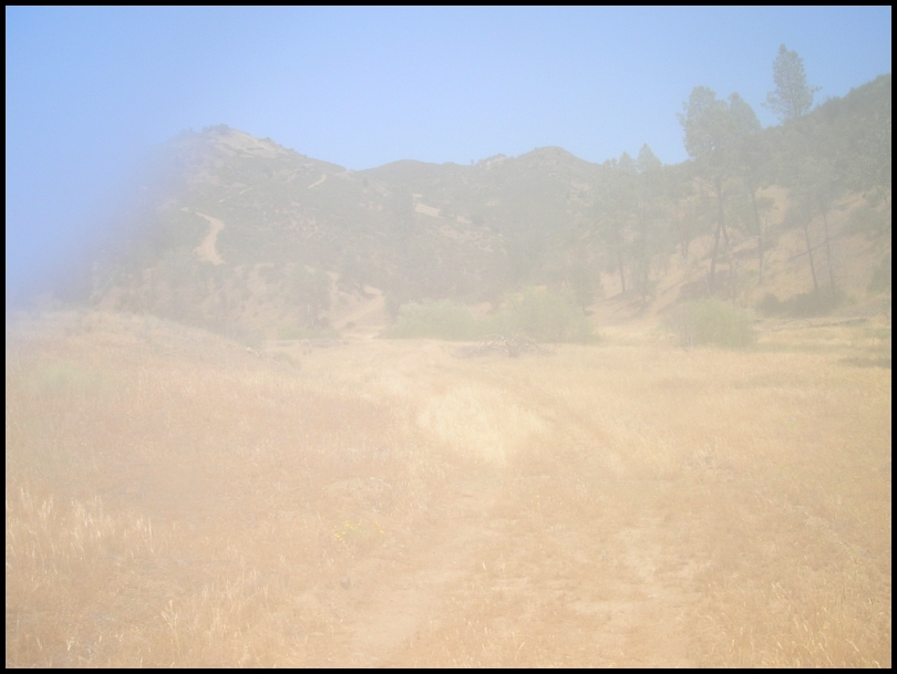
6:45am - into to a foggy morning:
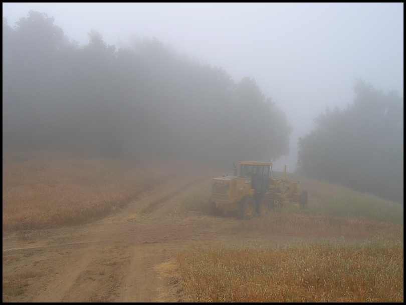
At Wilson Ranch, the dreaded road-grader:
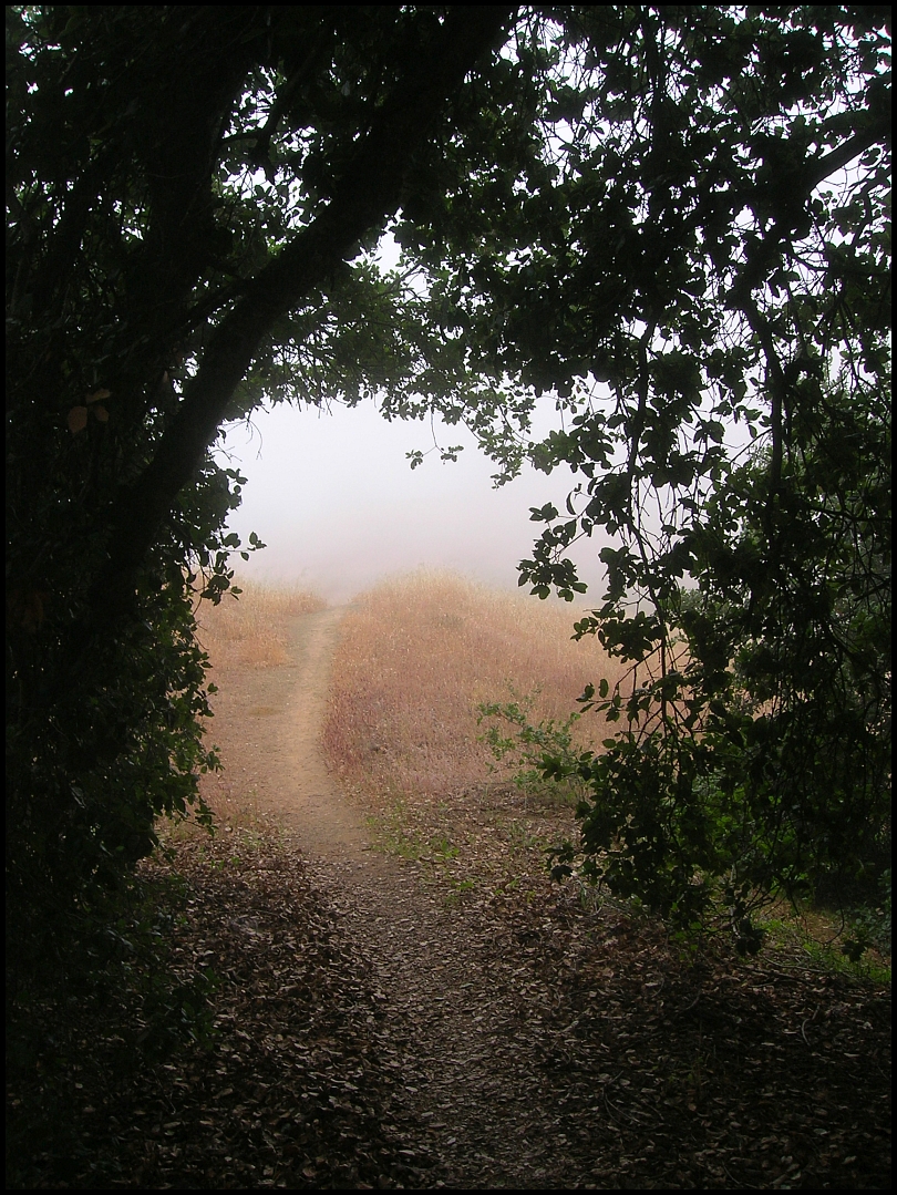
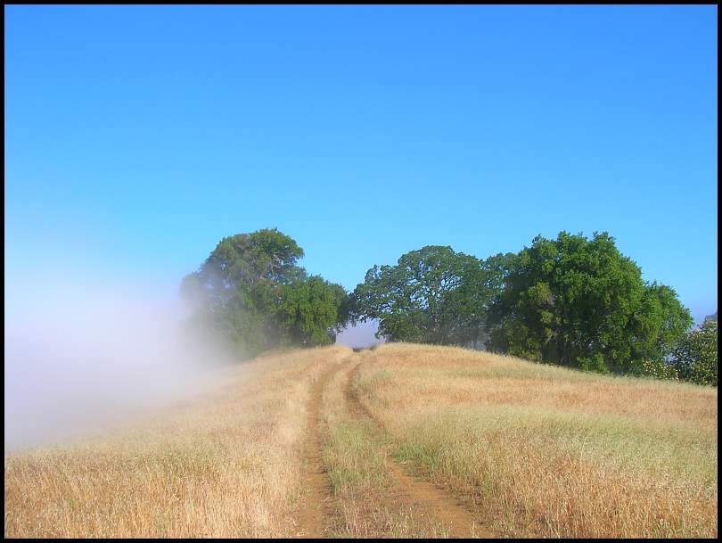
I pop out of the fog for a little while:
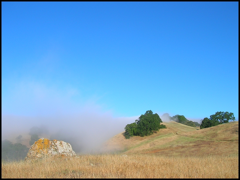
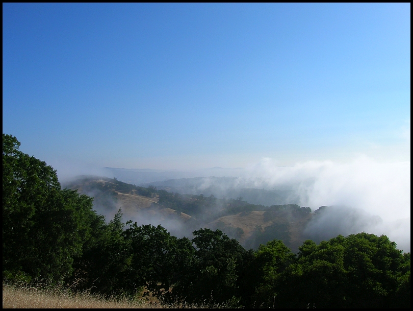
...but go over the top (8:00am) and back into it:
^ near Willson Peak
Most of the descent (Spike Jones Trail) is narrow single-track trail. The moisture dampens the soil resulting in the best traction I will experience all day. The fog also soaks the tall grass and everything below my hips gets saturated as I ride through it. My shoes never completely dry-out all day.
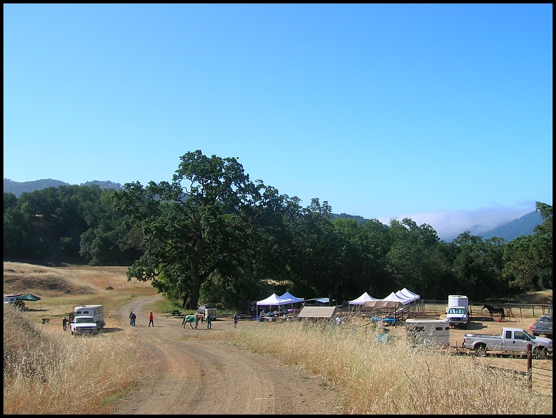
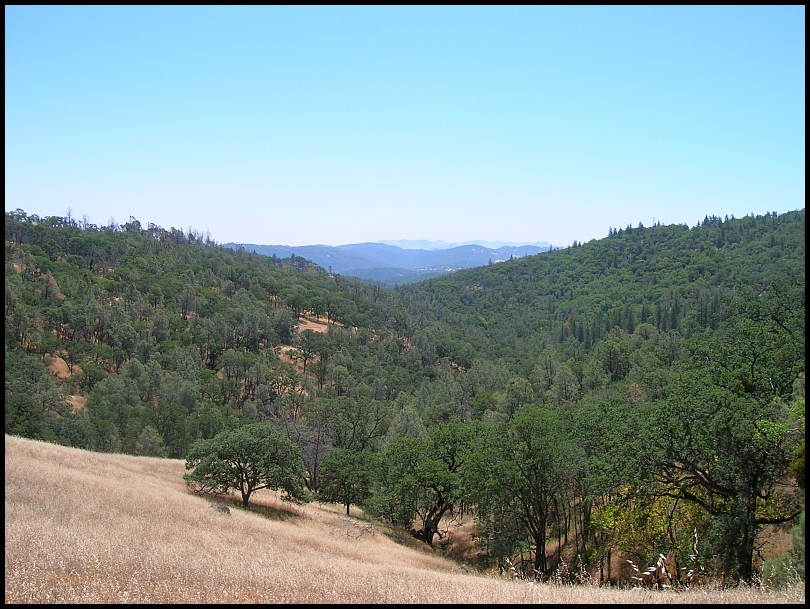
At the bottom, the route has me riding away from the fog and at 9:20am it's all blue sky as I ride by the equestrian event at Coit Horse Camp:

10:00am Mahoney Meadows - I'm 10 minutes slower getting to here.
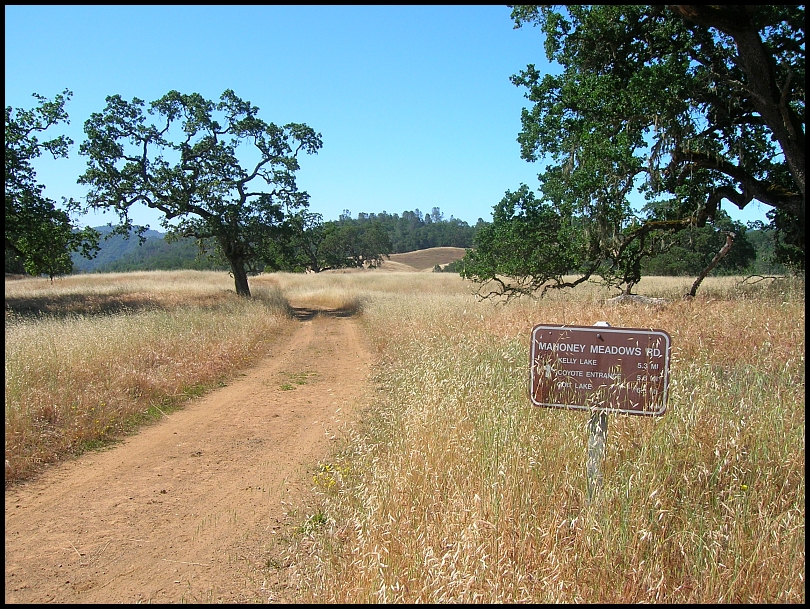
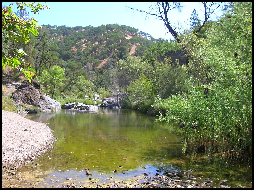
10:15am China Hole - Last time, shortly after leaving Mahoney Meadow, my rear derailleur cable broke delaying me an hour for repairs. Today I arrive at China Hole 50 minutes ahead:
11:30am Coe Park Headquarters:
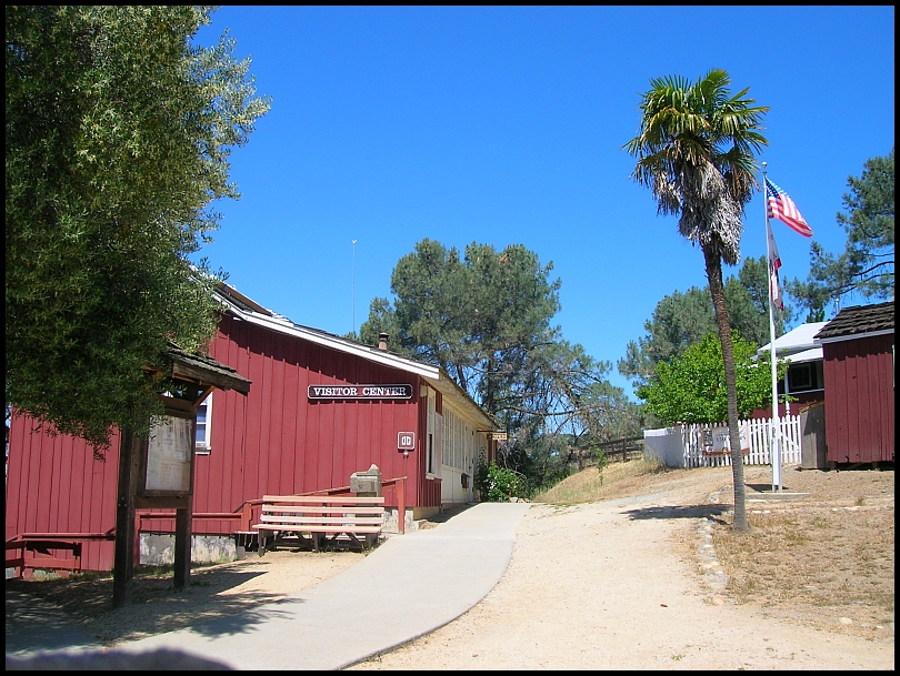
I lost 4 or 5 minutes on the climb but without the Tarantula Festival to distract me, my stop here is shorter. The time improvement maintains at around 50 minutes.
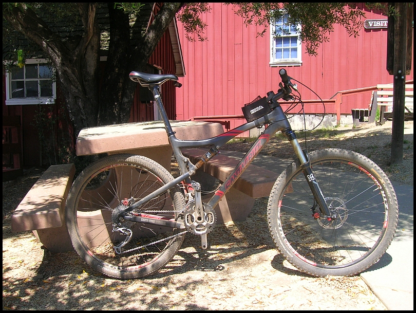
My bike:
The next trail after HQ is Flat Frog and on a Saturday, can be busy. Today there is no one. Hobbs Road follows and here's the view back into the Park from the Los Huecos Ranch border:
Middle Ridge Trail descent is always a highlight. More tree have fallen across it recently, here's a couple:
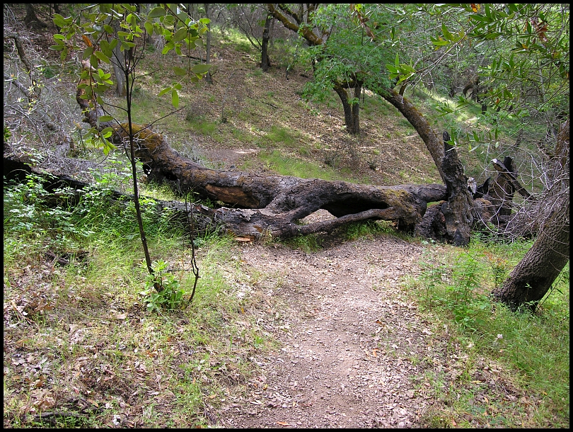
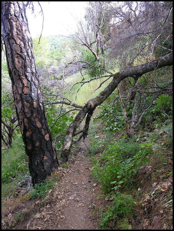
Between the fallen trees and the very dry, gravelly ground, it was not an easy time.
Going through the wet grass in the morning also doused the chain and on the next climb, Poverty Flat Road, the drive-train noise is deafening. I was reluctant to oil it now because there could be stream-crossings coming up in the Narrows Trail but it was really noisy so I had to.
Just before turning off Poverty Flats Road onto Shafer Corral Trail, I spotted 4 bike-packers pushing up a hill:
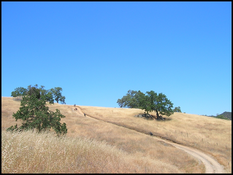
Wonder where they were going???
Well my concerns about water in the Narrows Trail were unfounded. There was very little so I couldn't believe when I grabbed the camera to take a picture of this turtle and it slipped out of my hands, it landed in this little puddle next to the turtle:
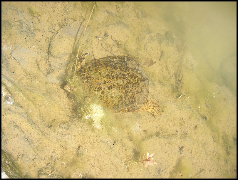
I grabbed it quickly, and obviously, it still seemed to work.
Approaching Bear Mountain, it is time for the mandatory photo of the steep dirt road:
The camera lens is misting over and it looks like I'm back in the fog.
The Narrows Trail had some long sections of deep grass. Very dry grass and I have a ridiculous amount of grass seed sticking in my shoes and socks. At the base of Bear Mtn, I have to break and remove what I can.
2:20pm - start up Bear Mountain. 1:06 ahead. "Ridiculous" is also an appropriate adjective for the steepness of this dirt road. Almost everyone has to push their bike up some of this. Myself, more than others. I begin to wilt and really struggle here today. Thankfully there is nice, cool marine breeze. When I get to a relatively level grade, I find my legs totally cramping-up when trying to pedal. Ugh!
I persevered and reached the top—the furthest point from the start/finish—at 3:45pm. I wouldn't have believed it at the time but I am still 41 minutes ahead.

The camera is worse and so am I. Forward progress is only by walking up hills and coasting down.
The turn off of Countyline Road to Mississippi Lake where a few weeks ago
I'd written "Coe 100" with rocks :

Here I realize the camera is now useless and stow it deep in my pack.
My water refill from Headquarters was nearly gone so I made an unplanned stop at Mississippi Lake to filter water. On the dirt road up out of the lake's basin, I find the cramps are subsiding and I can pedal uphill again. When a ranger (John V.) drives by, I just wave and didn't give a thought to asking for a lift.
6:15pm I arrive at Pacheco Camp. The precise timing is that I'm 3 mins ahead, which of course I don't know. I do know it's normally about 2 hours to the parking lot from here and that's nearly all the daylight that's left. Going out to Phegley and completing the route would be greater than 2 hours and my estimating in the moment resulted in 14:00 to 14:30 total time even if I had the legs to do it. I'd tie or just slightly beat my time.
I filtered some water and chatted with Paul L. who was camping-out there with the volunteer spring maintenance group. He reminded me that Wagon Road out by Phegley is pretty torn-up from the heavy equipment working on the various ponds and dams in that area; another strike against riding out to Phegley.
There were a few miles to think it over. The legs were improving but when I got the decision intersection, I bailed on Phegley and coasted down Grizzly Gulch which was perfectly satisfactory. The ride ends at 8:49pm, just a minute before “End Civil Twilight”.
While I failed on the HardCOEre 100km, 60 miles and 11k isn’t too bad!
Postmortem…Cramps: I rarely get cramps but when I do it’s when I push the pace or over-extend myself. There was some of each on this ride. I was particularly weak on the pushing-the-bike-uphill aspect, and certainly I was in better shape two years ago when I first did the 100km. Camera: this was a borrowed Coolpix 4600 (made in 2003), much lighter than my normal camera and the pictures are good. It still turns on but the photos are black, I’ll have to buy a replacement of some sort.
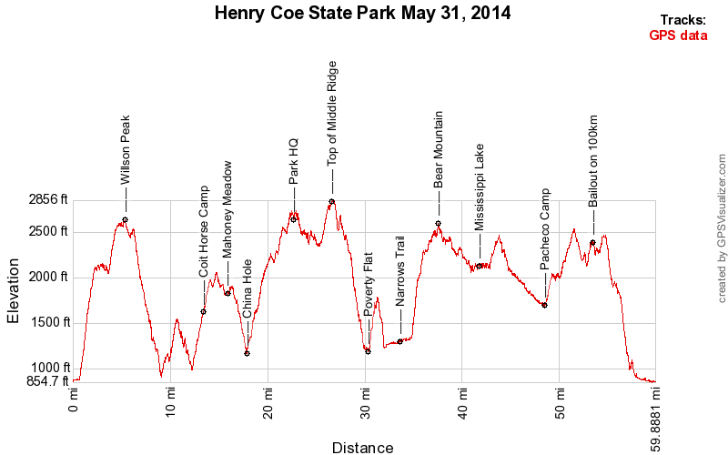
Start at Hunting Hollow » Hunting Hollow Road » Lyman Willson Ridge Trail » Bowl Trail » Willson Camp » Steer Ridge Road » Spike Jones Trail » Timm Trail » Coit Road » Anza Trail » Grapevine Road » Coit Road » Mahoney Meadows Road » China Hole Trail » China Hole » China Hole Trail » Manzanita Point » Manzanita Point Road » Park HQ for water » Manzanita Point Road » Flat Frog Trail » Hobbs Road » Middle Ridge Trail » Poverty Flats Road » Shafer Corral Trail » Narrows Trail » Bear Mountain Road » County Line Road » Mississippi Lake Trail » Willow Ridge Road » Pacheco Ridge Road » Heritage Trail » Pacheco Creek Trail » Pacheco Camp » Coit Road » Live Oak Spring Trail » Wagon Road » Wasno Road » Dexter Trail » Grizzly Gulch Trail » Coit Road » Coyote Creek gate » Gilroy Hot Springs Road » Hunting Hollow parking. 59.9 / 11:02 / 14:04 / 11,089'
Saturday 31 May 2014 Gilroy, California PDT
5:18 a.m. Begin civil twilight
5:49 a.m. Sunrise
1:04 p.m. Sun transit
8:20 p.m. Sunset
8:50 p.m. End civil twilight
Gilroy:

Cordoza Ridge: