and then what happened?!
^^^^
Funny you should ask....
July 7, 2017
The rest day helped. First, it gave my blistered heels some rest. They needed it. Here's how they looked at the end of the third day:
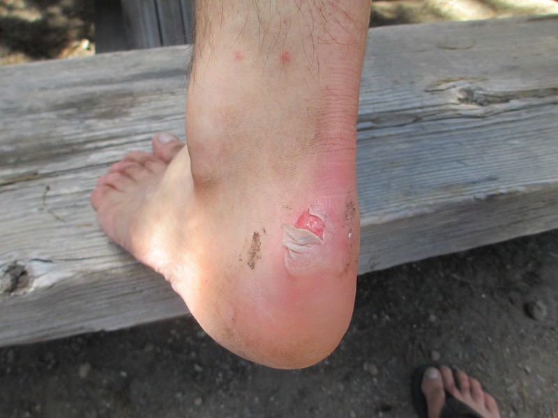


I don't forgive myself these foolish, foolish injuries. By assuming that a "trusted" pair of shoes would be alright, by omitting to take even a roll of tape on the first day, I'd let my feet get into deplorable shape, possibly jeopardizing our only chance to make PCT milage this year. Dumb, dumb, dumb, and I won't do it again. Until the day I die I will assume that any hike with any shoes under any circumstances can cause blisters and I will bring along at least a little tape, some moleskin, something which, if it won't prevent the blisters in the first place, will at least allow me to minimize them and minimize the damage.
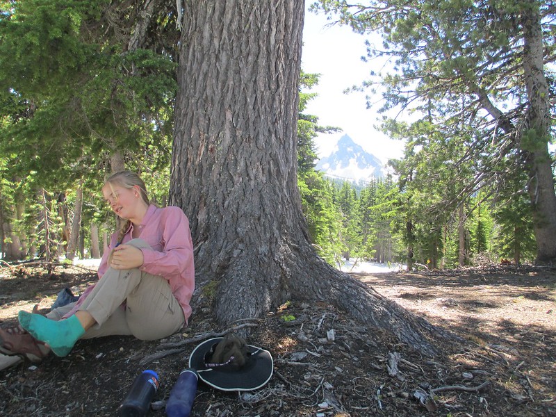
Vicki helped me use gauze, tape and lots of medicated goo during the rest day:
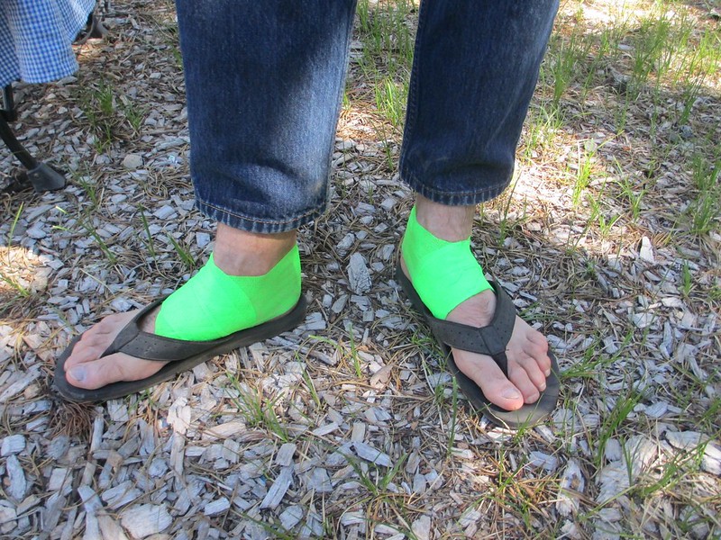
We replicated this treatment then this day in preparation for an 18.6 mile, snowy day to Miller Lake (but instead of Vet-Tape, we wrapped over the gauze and goo with climber's tape - as if we were preparing a sprained ankle).
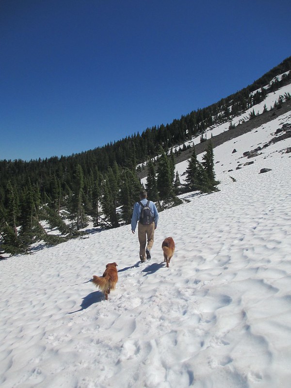
Tricia and I also talked about how to approach the heavy snow and difficult movement for this long a hike. We decided we'd do the first 3.8 miles back up to our "bail" point and then just start out. We knew what to expect now. We'd persist if humanly possible and, we decided, we'd make it a 20 hour day if we had to. We packed extra food and some extra clothes.
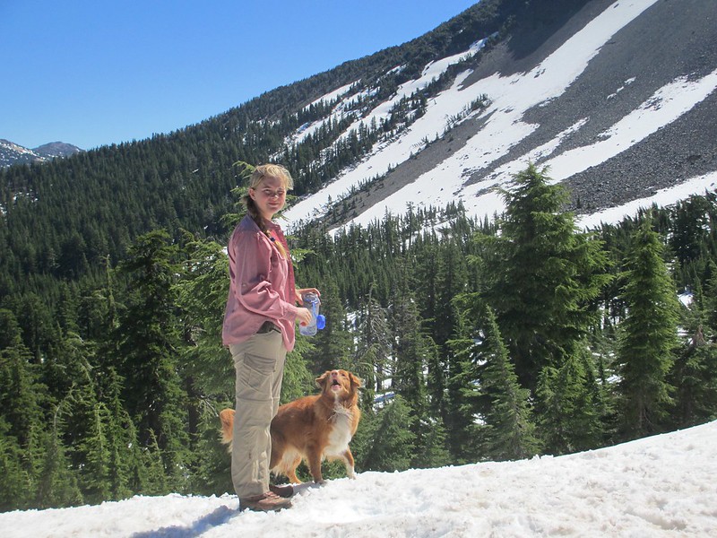
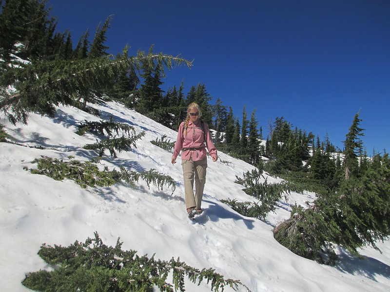
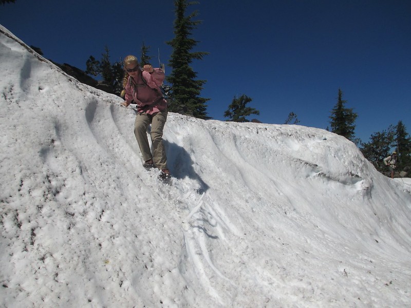
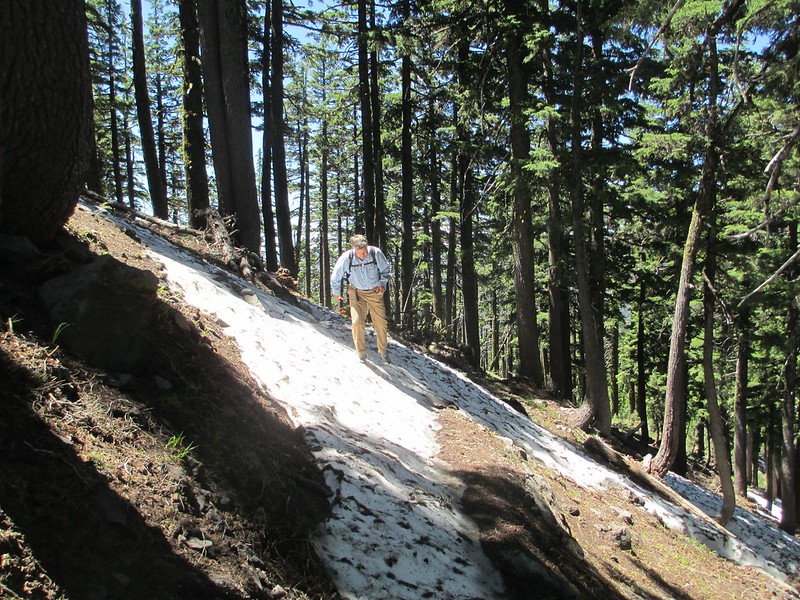
Things started well. Between the tape and ibuprofen my foot pain was consistently a "two" on a scale of 1 through 10. I could do that. Tricia moved quickly and happily. We easily made it back to the PCT/Mount Thielsen Trail junction:
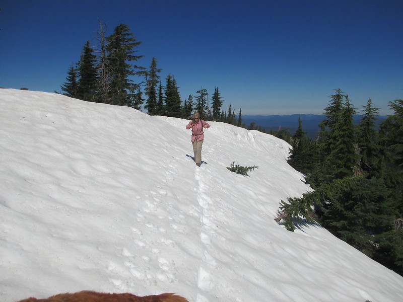
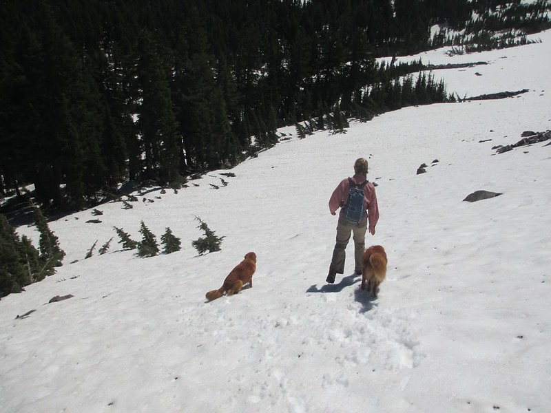
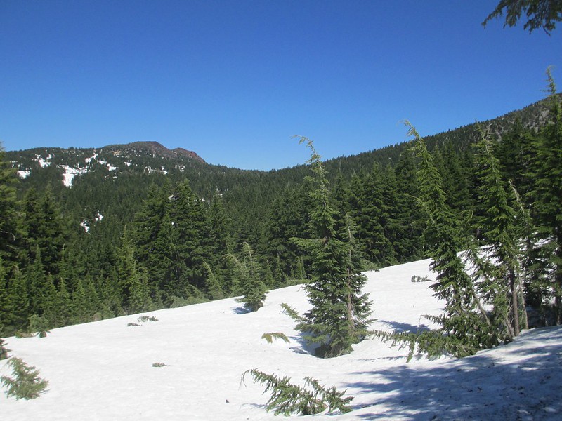
Alright so far. Now for the basin around Thielsen's northwest side:
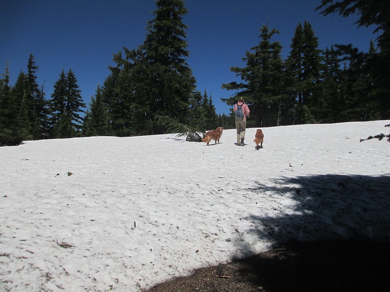
Wow! This stuff surprised us. Unlike the hard, steep stuff of two days ago this whole basin was filled with Goldilocks snow ("not too soft, not too hard, just right" for fairly efficient movement). We even laughed a little when we could glissade.
Mount Thielsen is as impressive from right below as it is from a distance:
Maybe we could do this?
The hardest part of the day was yet to come though (we thought). After crossing the bowl we came to a ridge edge where the trail turned sharply onto Thielsen's north side. I'd lost some sleep over what we'd find here.
It started with a big, intimidating looking cornice:
But a little exploration showed a weakness in the vertical cornice wall; we could get down to a shelf and then across to steep-but-doable ground:
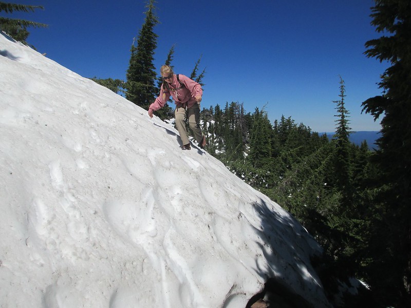
Our movement became a series of traverses through open areas of snow. When we weren't moving all of our attention was focused on navigation. "Any sign of a trail?" And, "any PCT signs?" Careful searching revealed just enough signs to let us know we were on track (try squinting):
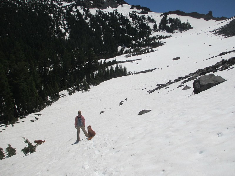
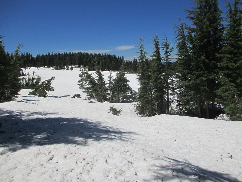
We weren't moving fast, but we hadn't expected to here. We came to a surprise: warm, dry talus:
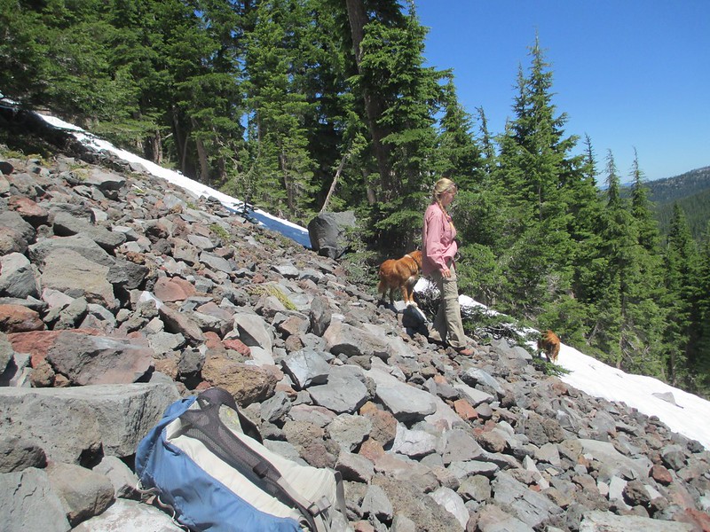
The talus wasn't much, but it gave us a chance to regroup and look around. We hadn't seen a trail sign in a quarter mile and we couldn't see any trail tread. But given what we could see we knew we'd gotten across most of this north face, we knew the trail was below us, and we could see that the next miles of northwest-facing ridge-side hiking weren't as steep as we'd feared.
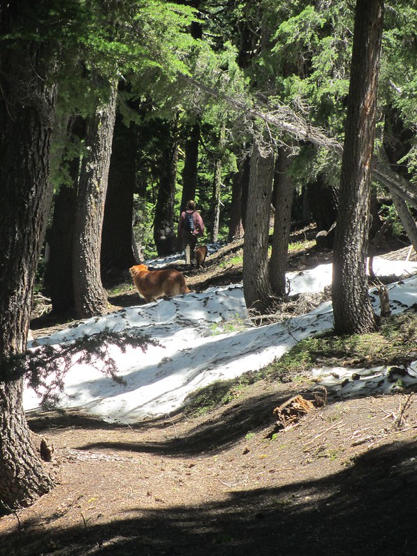
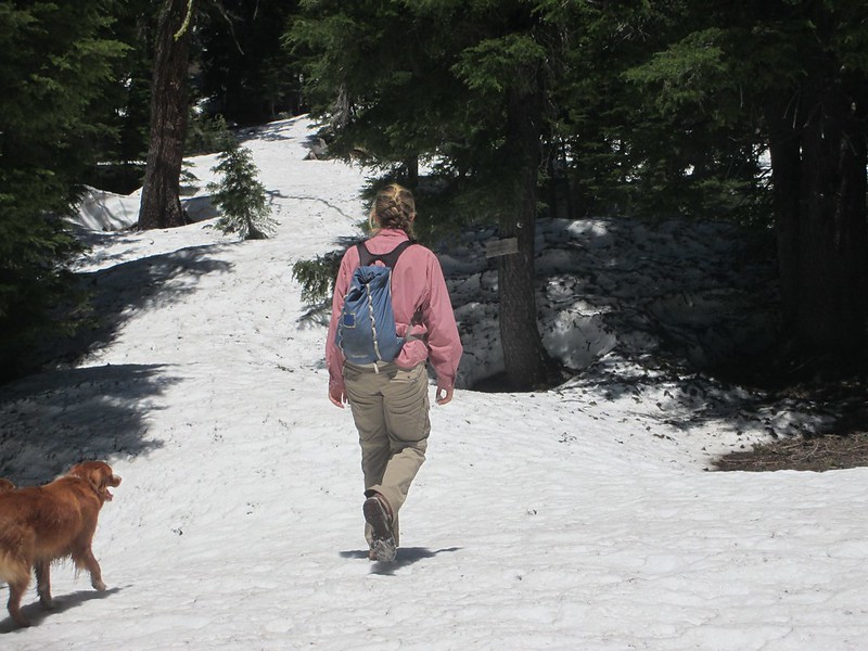
We moved down to find the trail:
Across Theilsen Creek, up onto a shelf, headed north now. And there's the trail:
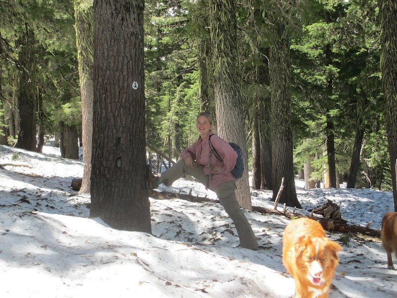
As can be seen from Tricia's smile, we were making progress and we were having a little fun while doing it.
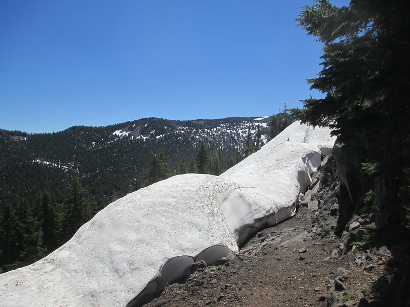
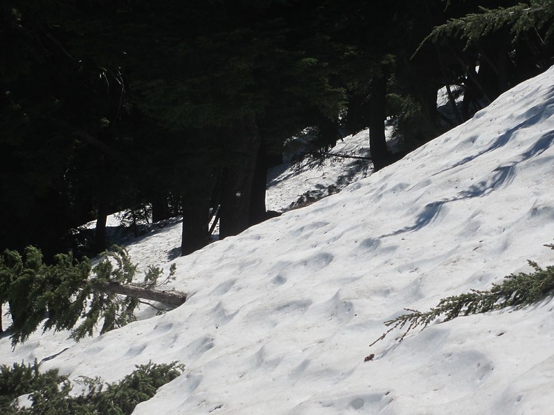
Snow conditions varied a lot while we moved north along along this Sawtooth Ridge. The slightest move toward facing south and we'd have some clear trail tread:
But mostly we weren't that lucky:
And then the clear patches disappeared for most of two miles. We moved carefully now, looking for signs, blazes on trees and occasional five foot sections of trail tread:
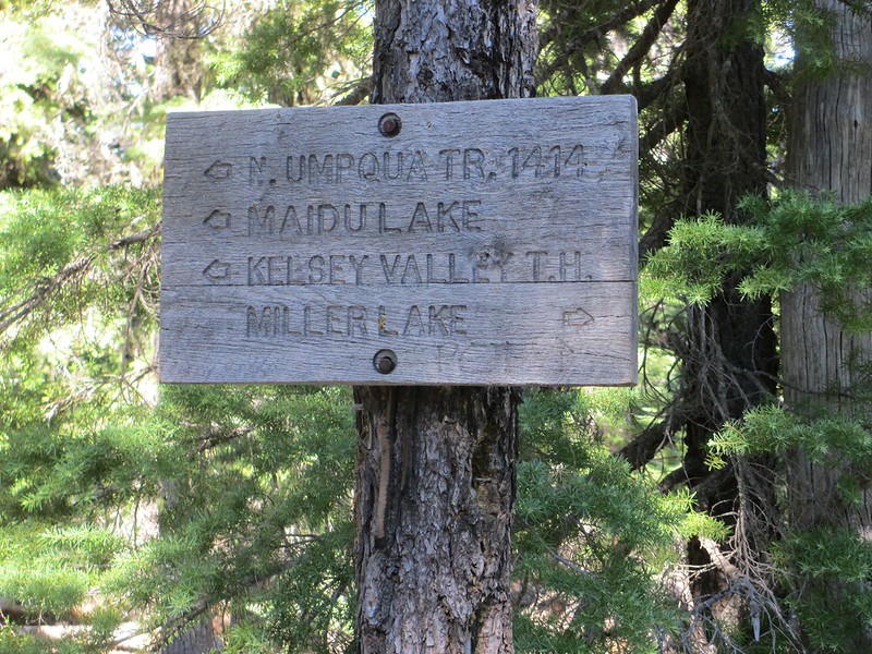
We found a trail junction:
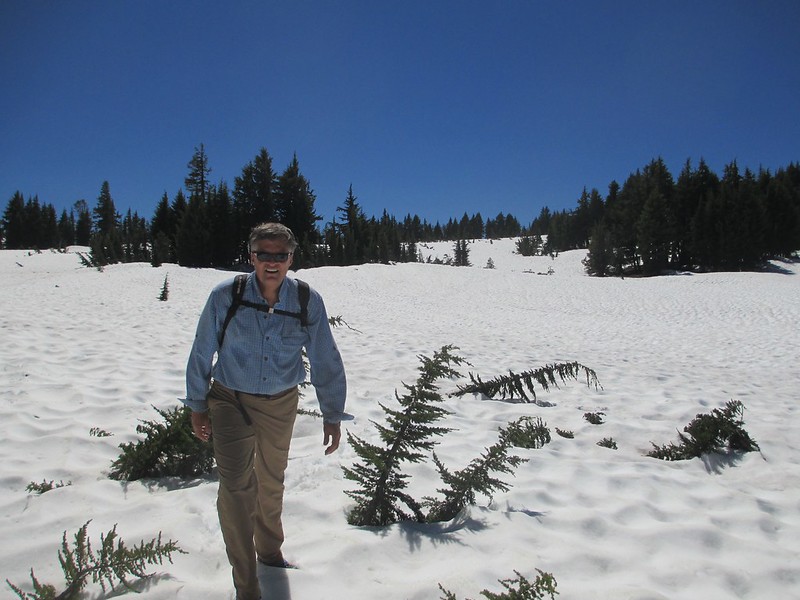
Up and over a small ridge and suddenly we had clear ground again. A nice place to rest; time for lunch:

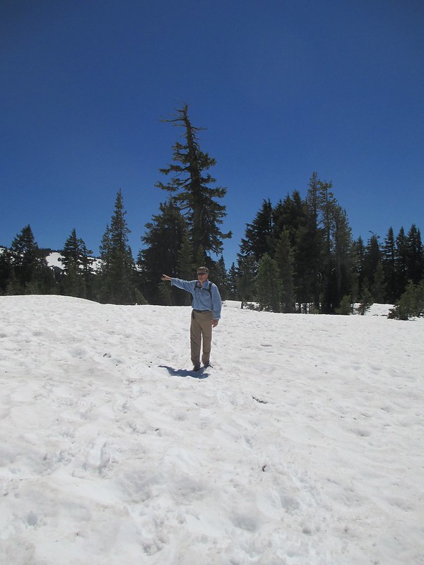
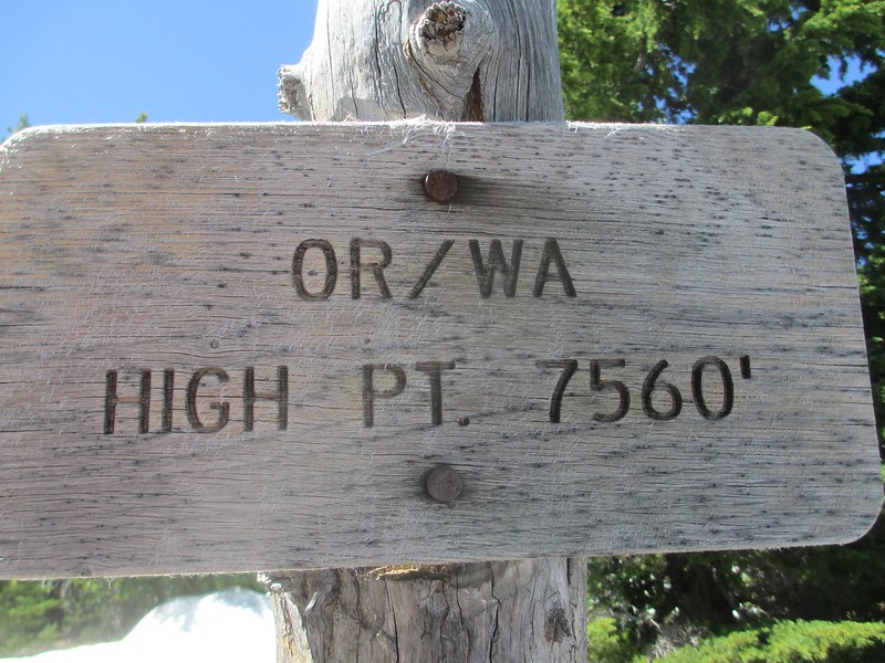
By now we were closing in on the highest point of the PCT in all of Oregon and Washington (a pass at 7,560 feet). We could see the pass from our lunch perch. It was just south of snow-free Tipsoo Peak. We had another mile and a half to go. It was mostly snow-covered:


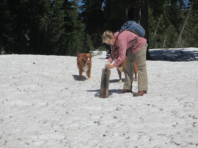
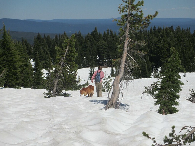
Tricia made a snowman on a trail-side pole:
And then were were at the two-state high point:

We expected the snow to lay off a bit on the other side of this pass. We were wrong:
The snow was getting a little mushy now. It had already been a long day and we were tiring.
And then it happened.
We lost the trail. Completely lost it. I thought I knew where we needed to be. No trail. We moved over further. No trail. No hint or sign of a trail.
It's getting late. We don't have the time or the energy for this. And yet what are we to do? Twenty minutes of movement. No trail. No idea where it is. That's it. Out comes the compass. Look more at the map. Find the nearest clearing. Where's Tipsoo Peak? OK, now backtrack. Lost for 40 minutes, we reach a spot that I am sure is within 100 yards of the trail (what does "sure" actually mean in that context anyway?). But nothing. No signs, no tread, still 100% snow. Another 100 yards. There's a clear stretch of hillside. I go to search it, moving up. "What's that, isn't that a cut log?" I think it is. I move up further. It's definitely the cut end of a log. There a trail tread too!! Tricia comes up. We're on a trail. But crap, we've been so far around that were not sure it's even the PCT. We have no choice, we move along it (I'd pay big bucks for an actual PCT sign right now). And there it is; a simple diamond of aluminum, nailed to a tree. And it makes our day.
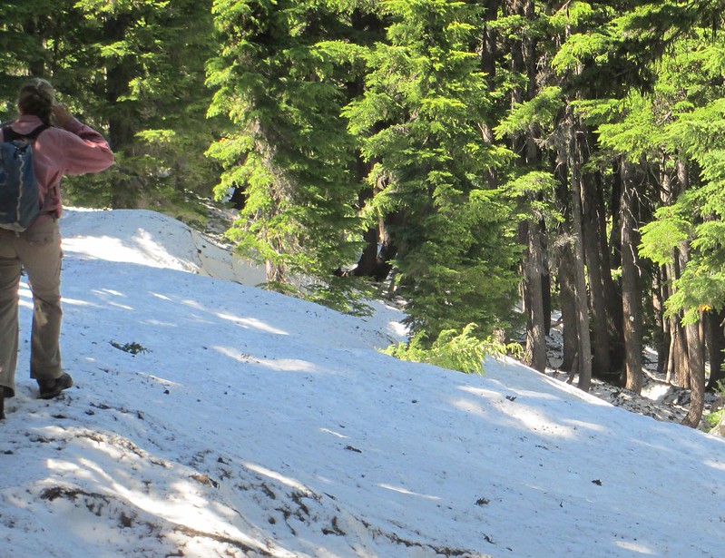
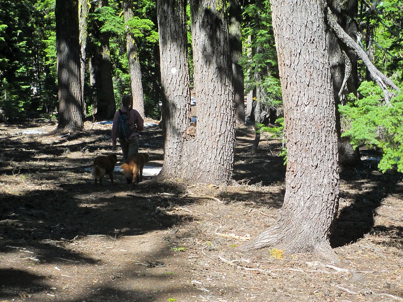
Back to business. The tread doesn't last long before we're back in the snow. We're absolutely fanatical now we're not going to lose the trail again. Eyes peeled, we see one sign and then move ahead searching for another (see a sign in the first photo, on a tree, near the right edge, closer to the bottom):
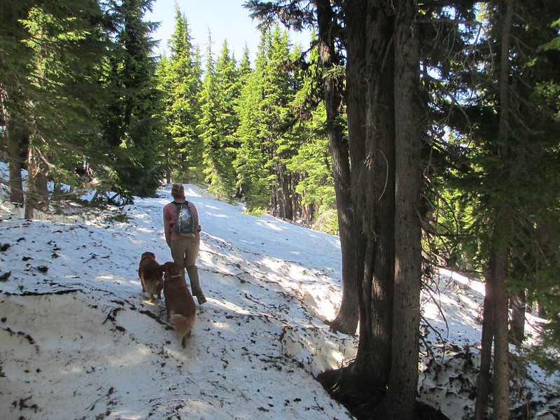
This is hard work. The trail here is almost all snow-covered and within a single mile it leads in all four cardinal directions! We lose direction a few times but always find it again. The snow thins some; we're losing elevation now. And slowly the "crisis" ends. Two miles from the two state high point were hiking on mostly trail tread again. Half an hour later we reach our trail junction, our turning point to hike down to Miller Lake and meet Vic:

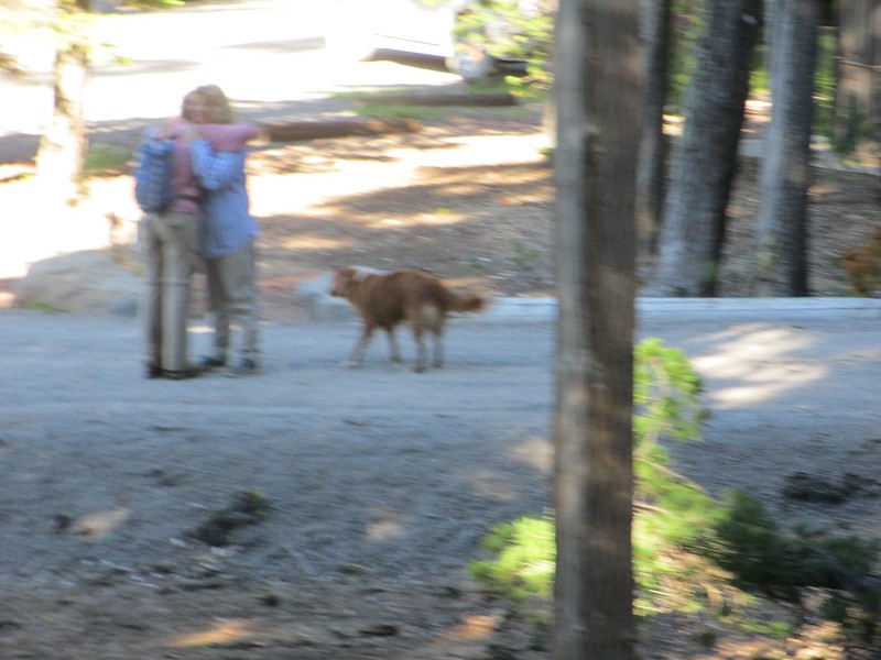
Our long, hard day ends with a swim (not for me though, thank you) and a hug. One of our great PCT days, one I'll never forget:

One more day to go, as we "tough it out" with some success.


