Author Topic: The PCT Volume 33: Toughing It Out  (Read 10218 times)

Brad Young

  • Grand Master
  • ***
  • Posts: 6664
The PCT Volume 33: Toughing It Out
« on: July 10, 2017, 08:44:45 PM »
Many of our PCT trips go smoothly and according to plan. Last year in particular, things just "clicked" for trip after trip and 350 miles.

Not so for 2017 and not so for this trip. Our first PCT attempt this year resulted in no hiking at all. And although this just-completed trip was much more successful, it did not go as planned; getting any milage done at all required some serious adjustments and a good dose of toughing it out. But we got past the snowiest part of the mountains of Oregon (in a year when the Crater Lake area got 48 feet of snow). We were the first to pass through some parts of the trail and at others we managed to continue where other hikers turned back.

The adjustments started with a late, long drive to Klamath Falls (Tricia got home from band camp more than two hours later than expected). But in spite of our late arrival, the next morning's drive to Crater Lake National Park went well. The excitement started to build as we saw Mount McLoughlin to the west, over Klamath Lake:


The peaks surrounding Crater Lake were obvious too in skies that were clear, blue and gorgeous:


We arrived at the Highway 62 PCT trailhead and smiled immediately. The area had been covered with two to six feet of snow just three weeks ago. Today we knew we'd be hiking mostly snow-free (and, especially, that we'd be able to find the trail with what snow there was):


The terrain in Oregon doesn't have the big elevation changes that dominate some parts of the trail in California. In fact, from this start point, for all of the next 100 miles, the trail's elevation stays between just under 6,000 feet to just over 7,500 feet. So today's hike would be fairly level/easy.

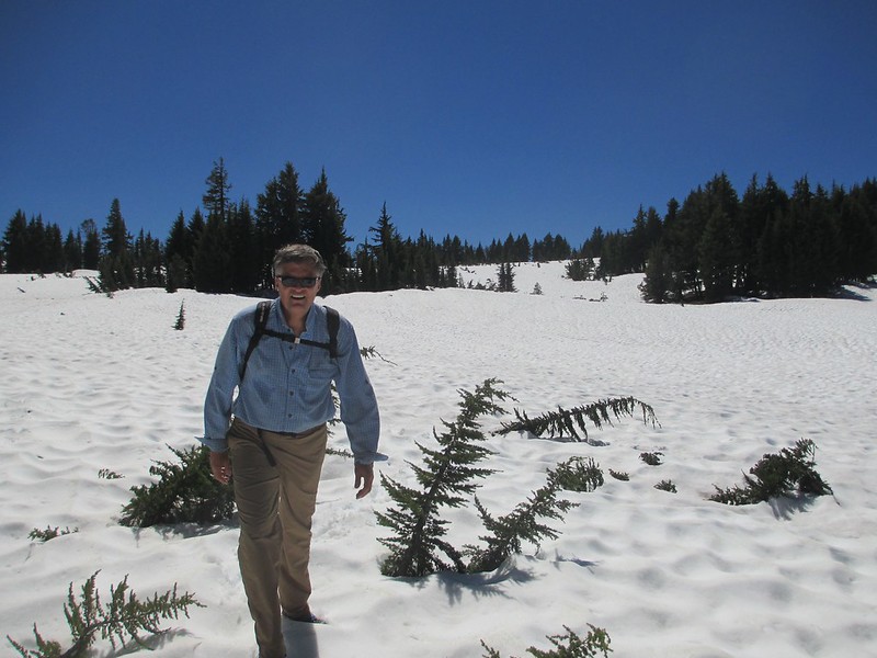
We hit some snow right away (enough that we "lost" the trail twice in the first three miles - we found it fairly quickly, with some small effort):


And creeks were flowing that would normally be just trickles in July:


But mostly we had easy and cool hiking:


Well, mostly:


Viewless forest hiking predominated, although we got some open space where a fire had cleared the forest:


About mid-day I came to a realization that I'd made a bit of a mistake (and the mistake would require me to adjust - yet again - to hiking with painful feet). We hadn't hiked much yet this summer (I climb more than I hike, and Tricia's been busy with her stuff anyway). Recognizing that my feet would need some breaking in, I wore my very best lightweight hiking shoes. Nicely broken in, these are my favorites by far.

And yet, just eight or nine miles in, my heels were developing hot-spots. That was bad enough. But the real screw-up was my failure to take along anything to treat them. I was so confident in these shoes that I'd stuck myself, well into a hike that I had to finish, with no way to treat this developing problem. Yet again I'd put myself in a position where I'd have to adjust and, big-time, tough it out (photos - for the not squeamish - are posted a few days lower down).

Mosquitos were bad, so rain shells were needed at our warm lunch-spot:


Soon Red Cone - the only significant hill in 18 miles - came into view:


Another two miles of heavy snow caused extra effort (up, over and down - snow forces constant changes to the hiking pace, it slows a hiker and takes more effort):


But soon enough we could hear traffic on the park's North Entrance Road. Several more snow sections, and there was Vicki, right where we'd planned:


Across the road (to insure overlap in our hiking from day to day) and, success. We'd started the PCT season:


We finished a fairly hard day with a short drive to camp. On the way we crossed Pumice Desert, still within the park. There we got this view of Mount Thielsen (a wonderfully steep peak that rises so dramatically from its surroundings that I can't believe I'd never heard of it before):


Camp itself was excellent. Wondering whether we'd find a place in a formal campground on this July 4th weekend (and wanting to avoid loud crowds anyway), Vicki had found a dry, flat section of forest one mile off Highway 138 and 30 feet from the PCT - nice job Vicki!):


mungeclimber

  • PermaBan
  • ***
  • Posts: 6665
    • http://www.sonorapassclimbing.com
Re: The PCT Volume 33: Toughing It Out
« Reply #1 on: July 10, 2017, 09:01:55 PM »
good stuff so far. Its funny, when I think of AT, Continental Divide and PCT hikers, I always used to think of these big huge loads (under the false assumption) that one must carry all ones' provisions when backpacking... But in reality, the PCT is devoured in chunks, not in one go... even for the 'thru' hiker, they resupply often.
On Aid at Pinns... It's all A1 til it crumbles. - Munge

F4?

  • unworthy
  • Posts: 6172
Re: The PCT Volume 33: Toughing It Out
« Reply #2 on: July 10, 2017, 09:30:07 PM »
Yeah Munge, it looks quite civilized.


I'm not worthy.

Brad Young

  • Grand Master
  • ***
  • Posts: 6664
Re: The PCT Volume 33: Toughing It Out
« Reply #3 on: July 11, 2017, 06:54:19 AM »
July 4, 2017

Today's hike promised to be about as easy as a day-hike can get. Gentle downhill and uphill, 9.2 miles, directly to camp. The temperatures were high enough that I decided to walk in shorts, a short sleeved shirt, and DEET:


A few early snow clumps and a broken bird's egg occupied the first mile:


Then it was mostly lodgepole pine forest for several miles:


We came up to the edge of Pumice Desert where we got this view of Thielsen (I really like this mountain):


The girls loved the little remaining snow:


Soon Highway 138 (and the end of Oregon's Section "C") came into view:


More flat hiking led directly into camp and to Vicki:


The short day let us relax some for much of the afternoon. Tricia read her summertime AP history homework. I tried to tend to my feet (yeah, after the fact). I don't suppose that a sock, bloody from under moleskin, is a sign of high intelligence:


After a while Tricia's first-day mosquito bites also needed tending (although she's got my legs, she's also got her mother's sensitivity to the little winged beasts):


And yes, we did use lots of repellant. But it was the Lemon/Eucalyptus oil stuff, which works but not for all that long. We switched to DEET starting this second day.

Finally, when darkness was near, we drove eight miles to the shore of Diamond Lake. We'd been told that the resort there put on a grand fireworks show and Tricia really wanted to see it. And grand was the right word; anyone who has seen July 4th fireworks at Donner Lake will understand the spectacular nature of this lake's show.

mungeclimber

  • PermaBan
  • ***
  • Posts: 6665
    • http://www.sonorapassclimbing.com
Re: The PCT Volume 33: Toughing It Out
« Reply #4 on: July 11, 2017, 07:21:30 AM »
Yeah Munge, it looks quite civilized.


Well, after seeing Tricia's vampire bites, I'm thinking its more of a war...  a war of a Trician?

Unfortunately, the blood suckers have the advantage in numbers!
On Aid at Pinns... It's all A1 til it crumbles. - Munge

Brad Young

  • Grand Master
  • ***
  • Posts: 6664
Re: The PCT Volume 33: Toughing It Out
« Reply #5 on: July 11, 2017, 02:12:27 PM »
July 5, 2017

In planning our hike for today we had to decide whether to day-hike or backpack with one night out. The disadvantages of carrying weight were obvious, but we could pretty clearly make Windigo Pass (30.2 miles away) in two backpacking days. Lightweight movement sounded good, but in order to day-hike we'd have to exit the PCT to Miller Lake, an extra 2.8 miles for a long total of 20.3 miles for the day (and then, of course, we'd have to retrace that 2.8 miles the next day).

We had both sets of gear with us. After wavering a bit back and forth, we decided to go for it in a day. It might end up being a long day, but the ease of movement would be worth it.

Great plan. But, remember the themes of this PCT installment? "Adjustment" and "toughing it." This day brought both.

We started out easily from camp:


I was moving a little slowly at first as my body got used to the pain in my heels. But we very quickly caught up with a party of four backpackers who'd passed through camp half an hour before we started.

Two and a half miles passed in an hour. Flat to gentle uphill, working up to and then around Mount Thielsen's west side. But we were gaining elevation. The forest got thicker.

We hit the first snow patches right where we caught up with the other hikers:


At first these sections of snow were no big deal. We hiked with the others for a while. Snow patches turned into all snow (but here, unlike in Crater Lake Park, fairly frequent PCT signs make it possible to navigate over the snow, although with some backtracking).

After a slow half a mile of all snow, we turned a corner onto a south-facing slope. Here we had trail tread for a while. And we had some views (these seem rare for this part of the PCT - that's Pumice Desert and the peaks around Crater Lake in the background; but notice how much of the rest of the space is just viewless forest):


Coming around the end of another ridge we got a great view of Diamond Lake and Diamond Peak:


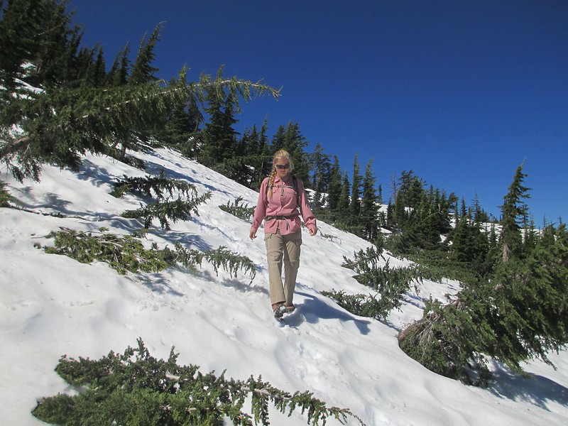
But coming around that ridge put us back on a north slope. And instantly, again, the whole trail was gone, covered in snow (usually steep, steep snow too, sometimes with significant exposure). A few breaks let us move 50 feet quickly, but mostly we went up and down, over snow, way down under it where it was too steep to move across safely. In one section small trees were bent over and into the trail and making 100 yards took crawling in and among them all. This was excruciating progress. It had to be though to stay safe (I thought long and hard in a few sections about whether Tricia would be OK; I knew though that she understood the difficulties and dangers, and that she could handle them). Although I didn't get photos of the worst parts of this north-facing slope, I got a few shots of the general area and conditions:


Here's another shot looking straight back over "the trail." This section right here isn't dangerous going (it's basically flat), but it's not straightforward, move-it-along hiking either:


After another two miles of this we stopped and sat down. We needed food, rest, and water. And we needed to rethink our plan. After an easy first hour, we'd now taken almost three more hours to go three more miles. We were moving at less than a mile per hour. Obviously we weren't going to make it 20 miles today (the north and northwest slopes that seem to keep the snow on this part of the trail go on for another six or seven miles past where we'd stopped). We texted Vicki about our difficulties, suggesting that we might have to exit the trail early, to the west (by now she was at Miller Lake, on the east side of the range).

We made up our minds to continue on to the PCT/Mount Thielsen Trail junction and decide what to do there (we knew that the Mount Thielsen Trail led down and west to the highway and that we could bail that way if we had to). At the junction we saw lots more snow ahead (to the left and trending down, and this isn't even north or northwest facing):


Sometimes plans don't work. Ours was clearly obsolete. We decided to bail off to the west, get a campsite, take a rest day and regroup.

mungeclimber

  • PermaBan
  • ***
  • Posts: 6665
    • http://www.sonorapassclimbing.com
Re: The PCT Volume 33: Toughing It Out
« Reply #6 on: July 11, 2017, 03:10:54 PM »
and then what happened?!
On Aid at Pinns... It's all A1 til it crumbles. - Munge

Brad Young

  • Grand Master
  • ***
  • Posts: 6664
Re: The PCT Volume 33: Toughing It Out
« Reply #7 on: July 11, 2017, 04:05:27 PM »

and then what happened?!


^^^^

Funny you should ask....


July 7, 2017

The rest day helped. First, it gave my blistered heels some rest. They needed it. Here's how they looked at the end of the third day:
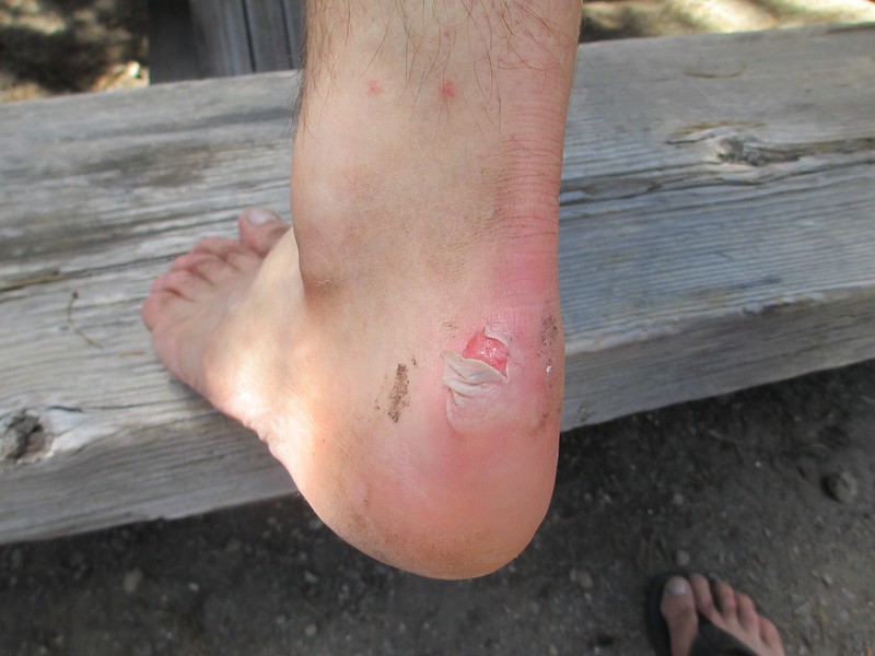
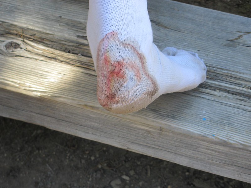


I don't forgive myself these foolish, foolish injuries. By assuming that a "trusted" pair of shoes would be alright, by omitting to take even a roll of tape on the first day, I'd let my feet get into deplorable shape, possibly jeopardizing our only chance to make PCT milage this year. Dumb, dumb, dumb, and I won't do it again. Until the day I die I will assume that any hike with any shoes under any circumstances can cause blisters and I will bring along at least a little tape, some moleskin, something which, if it won't prevent the blisters in the first place, will at least allow me to minimize them and minimize the damage.

Vicki helped me use gauze, tape and lots of medicated goo during the rest day:
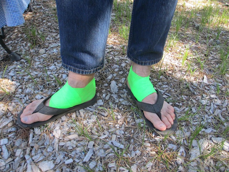


We replicated this treatment then this day in preparation for an 18.6 mile, snowy day to Miller Lake (but instead of Vet-Tape, we wrapped over the gauze and goo with climber's tape - as if we were preparing a sprained ankle).

Tricia and I also talked about how to approach the heavy snow and difficult movement for this long a hike. We decided we'd do the first 3.8 miles back up to our "bail" point and then just start out. We knew what to expect now. We'd persist if humanly possible and, we decided, we'd make it a 20 hour day if we had to. We packed extra food and some extra clothes.

Things started well. Between the tape and ibuprofen my foot pain was consistently a "two" on a scale of 1 through 10. I could do that. Tricia moved quickly and happily. We easily made it back to the PCT/Mount Thielsen Trail junction:
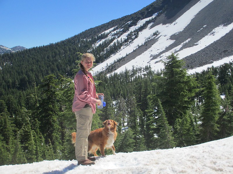


Alright so far. Now for the basin around Thielsen's northwest side:
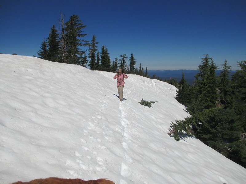


Wow! This stuff surprised us. Unlike the hard, steep stuff of two days ago this whole basin was filled with Goldilocks snow ("not too soft, not too hard, just right" for fairly efficient movement). We even laughed a little when we could glissade.

Mount Thielsen is as impressive from right below as it is from a distance:
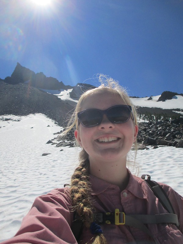


Maybe we could do this?

The hardest part of the day was yet to come though (we thought). After crossing the bowl we came to a ridge edge where the trail turned sharply onto Thielsen's north side. I'd lost some sleep over what we'd find here.

It started with a big, intimidating looking cornice:
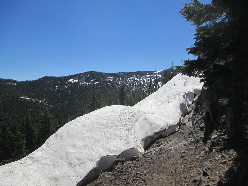


But a little exploration showed a weakness in the vertical cornice wall; we could get down to a shelf and then across to steep-but-doable ground:
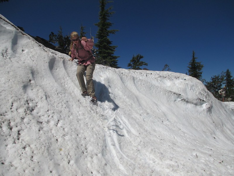
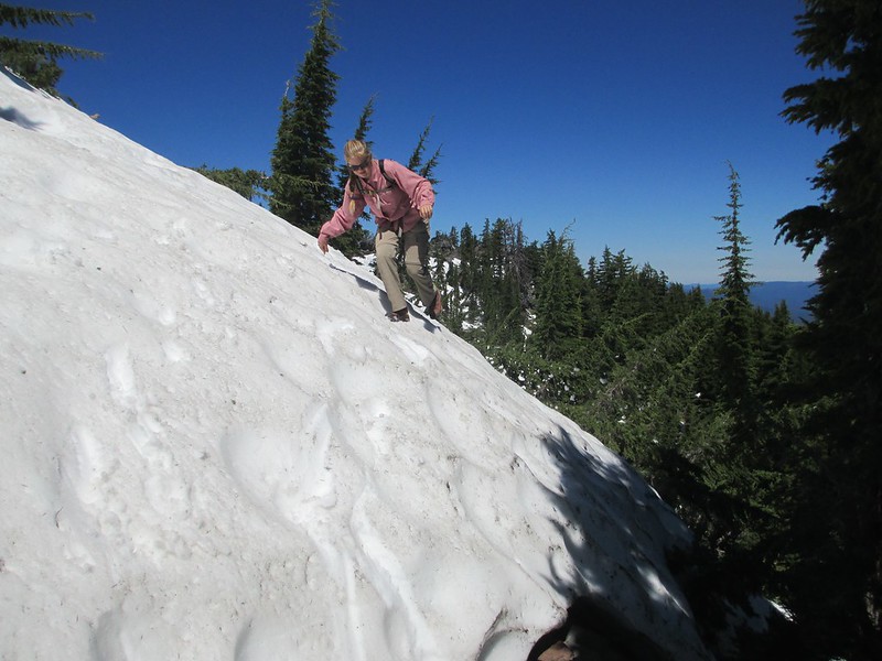


Our movement became a series of traverses through open areas of snow. When we weren't moving all of our attention was focused on navigation. "Any sign of a trail?" And, "any PCT signs?" Careful searching revealed just enough signs to let us know we were on track (try squinting):
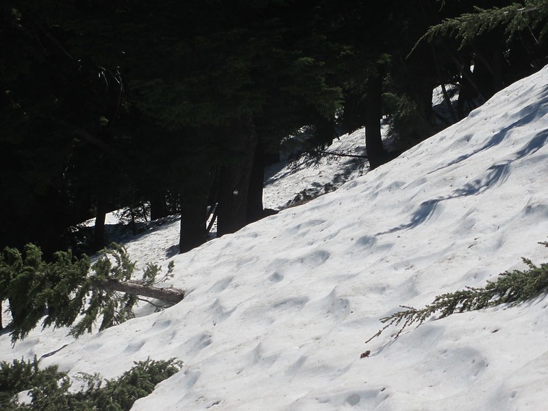


We weren't moving fast, but we hadn't expected to here. We came to a surprise: warm, dry talus:
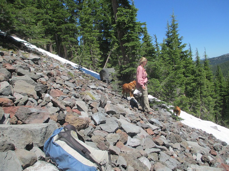


The talus wasn't much, but it gave us a chance to regroup and look around. We hadn't seen a trail sign in a quarter mile and we couldn't see any trail tread. But given what we could see we knew we'd gotten across most of this north face, we knew the trail was below us, and we could see that the next miles of northwest-facing ridge-side hiking weren't as steep as we'd feared.

We moved down to find the trail:
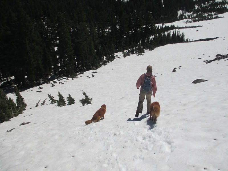


Across Theilsen Creek, up onto a shelf, headed north now. And there's the trail:
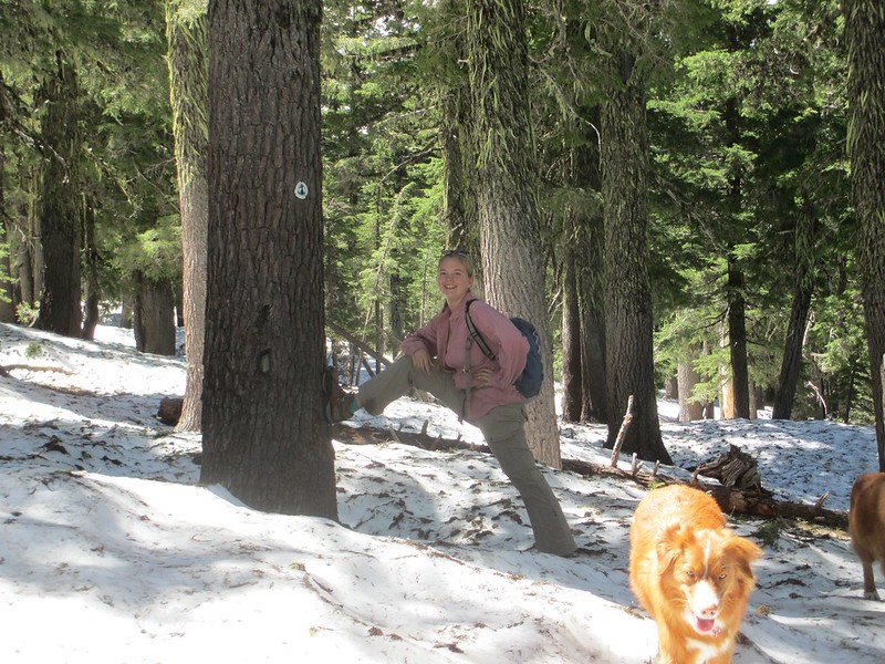


As can be seen from Tricia's smile, we were making progress and we were having a little fun while doing it.

Snow conditions varied a lot while we moved north along along this Sawtooth Ridge. The slightest move toward facing south and we'd have some clear trail tread:
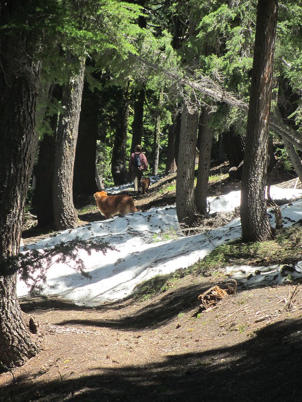


But mostly we weren't that lucky:
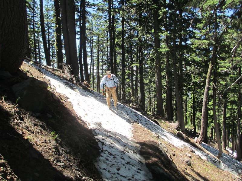


And then the clear patches disappeared for most of two miles. We moved carefully now, looking for signs, blazes on trees and occasional five foot sections of trail tread:
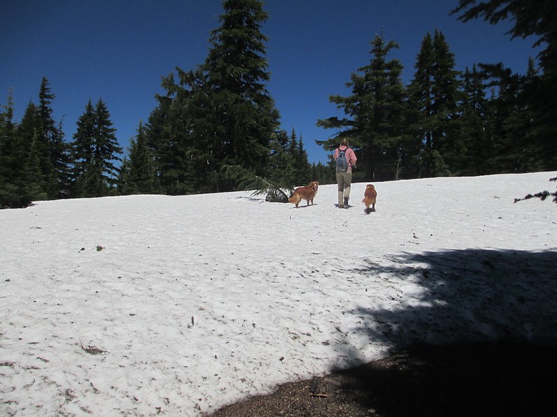
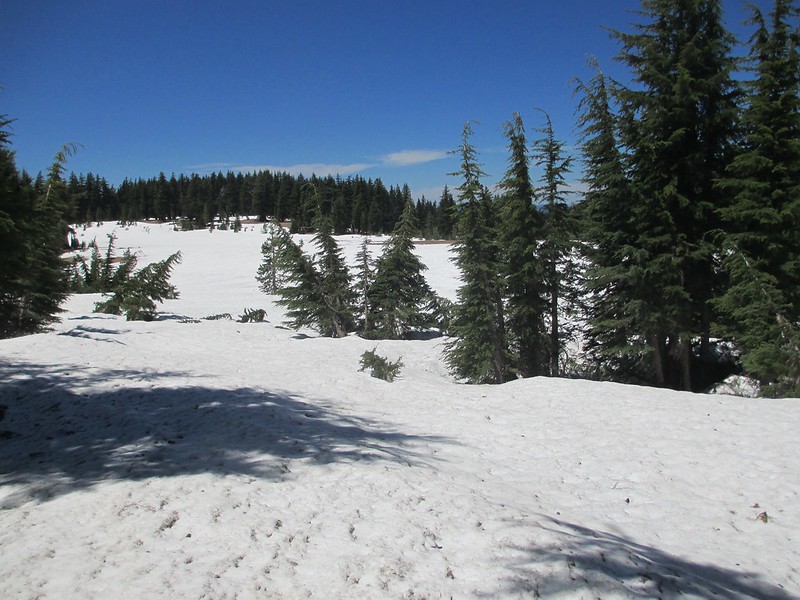


We found a trail junction:
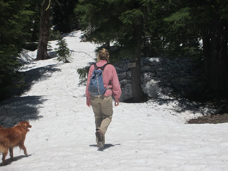


Up and over a small ridge and suddenly we had clear ground again. A nice place to rest; time for lunch:
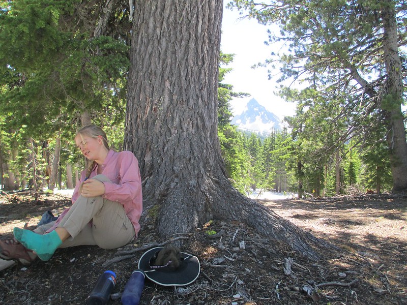


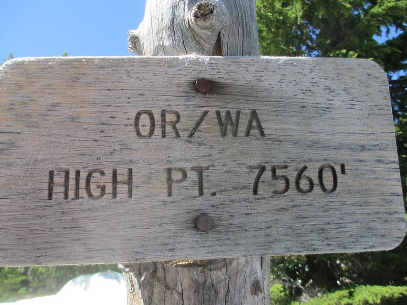
By now we were closing in on the highest point of the PCT in all of Oregon and Washington (a pass at 7,560 feet). We could see the pass from our lunch perch. It was just south of snow-free Tipsoo Peak. We had another mile and a half to go. It was mostly snow-covered:
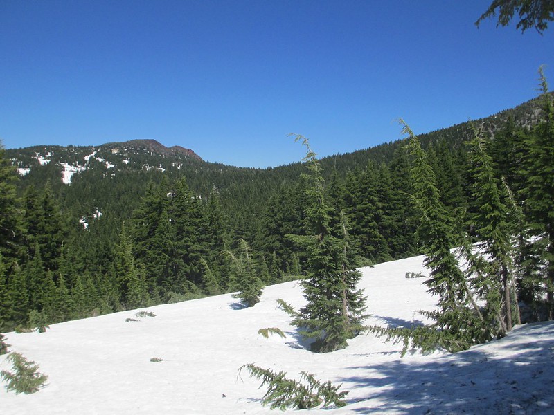


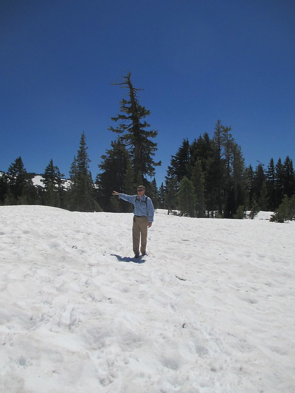


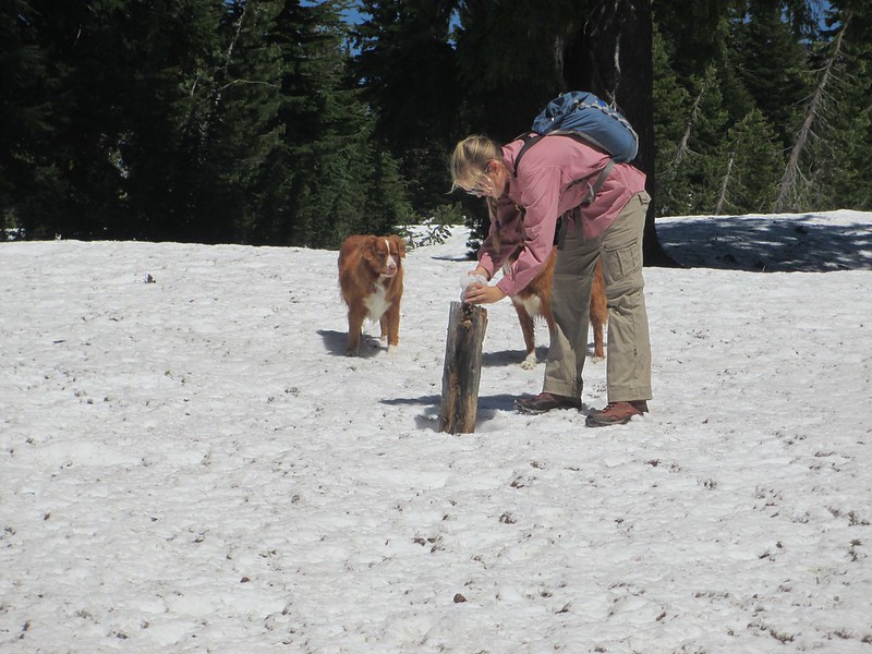
Tricia made a snowman on a trail-side pole:


And then were were at the two-state high point:


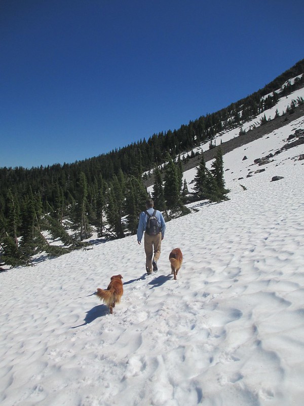
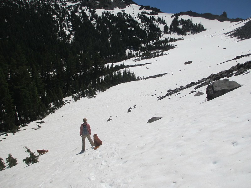
We expected the snow to lay off a bit on the other side of this pass. We were wrong:
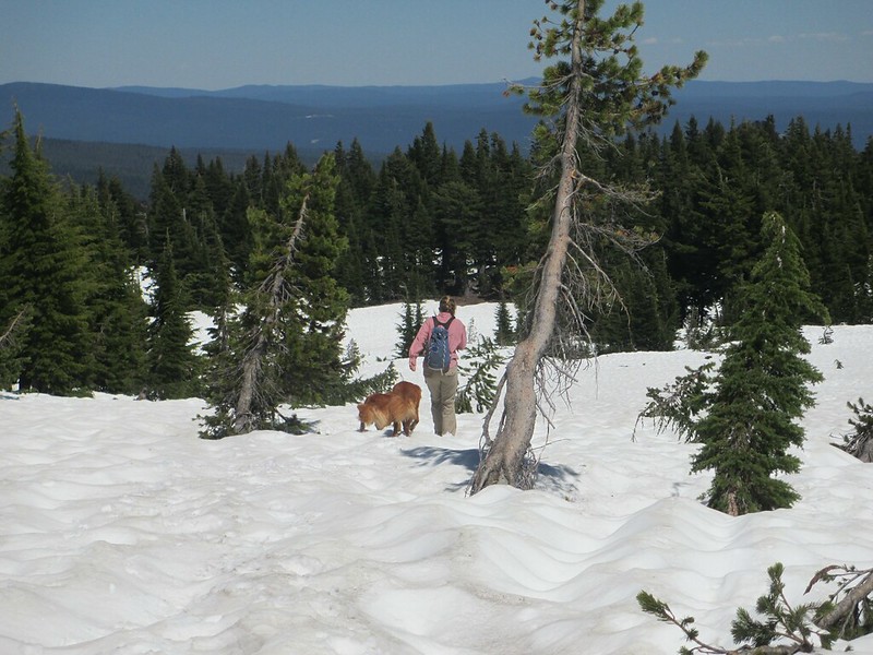


The snow was getting a little mushy now. It had already been a long day and we were tiring.

And then it happened.

We lost the trail. Completely lost it. I thought I knew where we needed to be. No trail. We moved over further. No trail. No hint or sign of a trail.

It's getting late. We don't have the time or the energy for this. And yet what are we to do? Twenty minutes of movement. No trail. No idea where it is. That's it. Out comes the compass. Look more at the map. Find the nearest clearing. Where's Tipsoo Peak? OK, now backtrack. Lost for 40 minutes, we reach a spot that I am sure is within 100 yards of the trail (what does "sure" actually mean in that context anyway?). But nothing. No signs, no tread, still 100% snow. Another 100 yards. There's a clear stretch of hillside. I go to search it, moving up. "What's that, isn't that a cut log?" I think it is. I move up further. It's definitely the cut end of a log. There a trail tread too!! Tricia comes up. We're on a trail. But crap, we've been so far around that were not sure it's even the PCT. We have no choice, we move along it (I'd pay big bucks for an actual PCT sign right now). And there it is; a simple diamond of aluminum, nailed to a tree. And it makes our day.

Back to business. The tread doesn't last long before we're back in the snow. We're absolutely fanatical now we're not going to lose the trail again. Eyes peeled, we see one sign and then move ahead searching for another (see a sign in the first photo, on a tree, near the right edge, closer to the bottom):
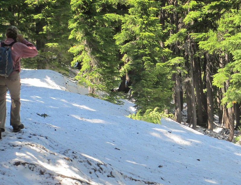
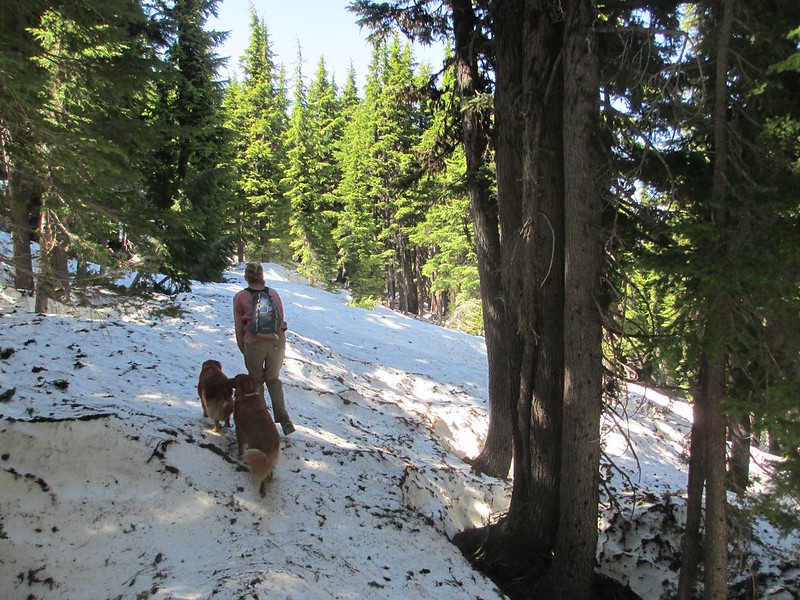


This is hard work. The trail here is almost all snow-covered and within a single mile it leads in all four cardinal directions! We lose direction a few times but always find it again. The snow thins some; we're losing elevation now. And slowly the "crisis" ends. Two miles from the two state high point were hiking on mostly trail tread again. Half an hour later we reach our trail junction, our turning point to hike down to Miller Lake and meet Vic:
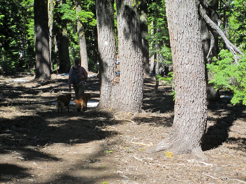
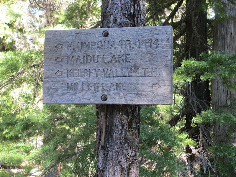


Our long, hard day ends with a swim (not for me though, thank you) and a hug. One of our great PCT days, one I'll never forget:



One more day to go, as we "tough it out" with some success.

Brad Young

  • Grand Master
  • ***
  • Posts: 6664
Re: The PCT Volume 33: Toughing It Out
« Reply #8 on: July 11, 2017, 04:06:49 PM »

...a war of a Trician?


And BTW, that one was pretty damn clever  ;D

Brad Young

  • Grand Master
  • ***
  • Posts: 6664
Re: The PCT Volume 33: Toughing It Out
« Reply #9 on: July 11, 2017, 06:18:34 PM »
July 8, 2017

Today's hike should be as casual as yesterday's was challenging. We're past the snowy parts, the hiking is as close to flat as a back-country trail can get (well, at least after our initial climb up from Miller Lake). And we only need to go a little over 15 miles to reach a convenient place to stop for this trip (Windigo Pass - what a cool name).

Our morning climb takes us back to the PCT and to a rare vista point where we break for water:


And then begin long stretches of the trail that go on and on with the same terrain, the same facing and the same angle of ascent/descent (including, for example, a mile and a half of gentle uphill heading due north, two miles of gentle downhill heading northwest):


We get occasional views of the snowy country behind us:


Tricia loves the "Treebeard" effect in one section of heavier forest:


And, looking quite a way ahead, what are these snowy peaks (my S.W.A.G. is that they are The Sisters?):


A burned section of forest lets us get a glimpse of Windigo Butte. This is almost the end of our hike:


We walk in to Windigo Pass at 4:54. I'd estimated to Vicki that we'd be there "around" 5:00:


Extra distance to ensure overlap:


And we're done with a tough but excellent trip. We set off on part of the drive back to California and home:


And my heel? Well the "end of the trip" photo is just too graphic to post. Here's what my stupidity left before I took the tape off:


Never again (the heel that is - we'll be back to the PCT as soon as we can).


F4?

  • unworthy
  • Posts: 6172
Re: The PCT Volume 33: Toughing It Out
« Reply #10 on: July 11, 2017, 08:59:29 PM »
Yeah Mungie it looks like a fair bit of work, having to use a compass and a map.
I'd have ended up in Mexico, again.

I'm not worthy.

mungeclimber

  • PermaBan
  • ***
  • Posts: 6665
    • http://www.sonorapassclimbing.com
Re: The PCT Volume 33: Toughing It Out
« Reply #11 on: July 12, 2017, 07:15:56 AM »
Full value. Thought about getting a gps and pct maps loaded?
On Aid at Pinns... It's all A1 til it crumbles. - Munge

Brad Young

  • Grand Master
  • ***
  • Posts: 6664
Re: The PCT Volume 33: Toughing It Out
« Reply #12 on: July 12, 2017, 07:25:51 AM »

Full value. Thought about getting a gps and pct maps loaded?


Old dog/new tricks.

Plus I didn't think we'd need them, all reports I'd heard were that the heaviest snow was in Crater Lake National Park, not north of it. I was also pretty confident in my and Tricia's ability to navigate/find the trail (and we did - mostly anyway  ;)   ).

clink

  • Meanderthal
  • ****
  • Posts: 4006
Re: The PCT Volume 33: Toughing It Out
« Reply #13 on: July 12, 2017, 10:22:13 AM »
I showed Johnny these pics. He says he wants to go hike with you in Oregon.
Causing trouble when not climbing.

F4?

  • unworthy
  • Posts: 6172
Re: The PCT Volume 33: Toughing It Out
« Reply #14 on: July 12, 2017, 01:10:45 PM »
To digress. 25 yrs ago, before topo maps Mybrother took my mom on a backpacking trip in hech hetchy.
His map....was the pack service map cut down....the same one you get at the entrance.

They didn't get lost, but the scale was a bit of a surprise.

Nice job Brad.
I'm not worthy.

mynameismud

  • unworthy
  • Posts: 5972
    • Mudncrud
Re: The PCT Volume 33: Toughing It Out
« Reply #15 on: July 14, 2017, 02:06:56 PM »
thank you for posting up.  I have been fairly busy around here with one thing after another.  Hopefully things settle down a bit for the rest of the year.
Here's to sweat in your eye

mungeclimber

  • PermaBan
  • ***
  • Posts: 6665
    • http://www.sonorapassclimbing.com
Re: The PCT Volume 33: Toughing It Out
« Reply #16 on: July 26, 2017, 12:44:52 PM »
is team Young out on the trail?

On Aid at Pinns... It's all A1 til it crumbles. - Munge

clink

  • Meanderthal
  • ****
  • Posts: 4006
Re: The PCT Volume 33: Toughing It Out
« Reply #17 on: July 26, 2017, 02:23:38 PM »
 They are boating the Colorado River. Should be a quite TR.

 Martha and I will be at their home Fri eve to Sun morning if you're around.
Causing trouble when not climbing.

F4?

  • unworthy
  • Posts: 6172
Re: The PCT Volume 33: Toughing It Out
« Reply #18 on: July 26, 2017, 06:18:02 PM »
Serious lack of focus.

Clink, be sure to keep an eye on the Munge Rob guy.
I'm not worthy.

Brad Young

  • Grand Master
  • ***
  • Posts: 6664
Re: The PCT Volume 33: Toughing It Out
« Reply #19 on: August 14, 2017, 04:05:04 PM »
This PCT season has been a little disappointing (too few trips). And it doesn't seem likely to get better.

As planned, we spent the last two weeks of July on a wonderful Grand Canyon trip (14 days!). Two weeks with all four of us (big, big bonus that Katie came too). Also along were all four of my brother's family, and our nephew (nine family) and other guests. As another big bonus, we rode in dories. These are smaller, wooden boats that have a great history on the Colorado River. They're really fun, a more intimate way to float the river.

The trip was "once in a lifetime" quality. Everything from the people to the guides to the food; plus the river and the canyon. It was a great trip. That's good

But it used up two weeks which could otherwise have been spent hiking on the PCT. That's bad.

And now, Tricia has made the sophomore girls volleyball team. Last year, she and all of the girls from her elementary "feeder" school were cut from the high school freshman team in a petty political move that really pissed us off. We let it go un-challenged though; Tricia asked us to leave it alone, and besides, sometimes kids need to learn harsh lessons about bureaucratic organizations.

So this year Tricia worked really hard. She made the team (she's a very skilled setter). She's really, really happy. And Vicki and I are as proud of her as can be. So that's very good news.

But it's also bad news; the girls have practice every day now and that means no more PCT for us. I'm going through heavy withdrawals.

Here are some of our best Grand Canyon photos to distract me for what might be a long eleven months:

Day one, Vicki and Katie getting used to the dory (notice the water color):


It can't hurt to look can it?


Getting Tricia and Katie together again is always a great treat for us:


Katie on the oars:


The dories are just fun (my brother and me in the first shot):


We had time for relaxing:


An occasional nap:


Tricia and her cousin Phoebe sing while boatmen Kate and Andy play:


We explored some ruins:


Spent great time with my brother and his wife and his kids (plus our nephew Chris):


We explored side canyons:


Here's one of our boats floating past Vulcan's Anvil, just above Lava Falls, one of the two famous Grand Canyon "class 10" (out of 10) rapids:


As described, this was a great trip. And the PCT will be there, and we will get back ;)