Author Topic: Yolo County Highpoint  (Read 5686 times)

Brad Young

  • Grand Master
  • ***
  • Posts: 6664
Yolo County Highpoint
« on: November 20, 2017, 08:57:38 AM »
As I put in an email about our hike yesterday:

"Tricia and I did the Yolo County highpoint yesterday. It was "only" 8.5 miles of hiking. But five miles of that was cross-country, at elevations between 1,800 and 3,200 feet, in an area that burned two years ago. It's been a long time since I was so blown out tired, so scratched and abraded, filled with leaves, sticks and sticker burrs. And blackened from the soot on burned remnants."

This one goes now gleefully off the list. Five out of 56 more to go.

Parked at the trailhead:


Tricia used duct tape to hold up her Dirty Girl gaiters (since this pair of shoes didn't have the attachment velcro):


Here we are almost at the end of the fire-road portion of the hike. Now we've got to go cross country to the highpoint/summit which is in the left-center of this photo:


Down through brush into Davis Creek. And now we've got to go back up:


Yes, there's a Tricia in there (she's just left of dead-center);


There she is:


At least the burn left open areas leading up to the ridge-top (although the mile and a half along the ridge - holy damn!):


Looking back over Davis Creek at where we'd come from:


A mile and a half of this:


There's the summit; oh joy, only a few hundred yards more of this crap:


Little Blue Peak:


On the summit:


We could see fresh snow in the Sierra (looking to the southeast):


And then there remained only to work our miserable way back to the car. Did I mention sticker burrs:


And soot and sweat:


They call Yolo County one of the hardest highpoints. But it can't be hard, it's "only" 8.5 miles for the round trip. It was hard. But I think miserable is the better descriptor. Glad to have done it though (and Tricia said the same thing):


mungeclimber

  • PermaBan
  • ***
  • Posts: 6665
    • http://www.sonorapassclimbing.com
Re: Yolo County Highpoint
« Reply #1 on: November 21, 2017, 09:23:39 PM »
sticker burrs. No thx.
On Aid at Pinns... It's all A1 til it crumbles. - Munge

Brad Young

  • Grand Master
  • ***
  • Posts: 6664
Re: Yolo County Highpoint
« Reply #2 on: November 21, 2017, 09:35:29 PM »
Better than ticks. Lots of those today - but none on me or Tricia. And what incredible views!

Brad Young

  • Grand Master
  • ***
  • Posts: 6664
Re: Yolo County Highpoint
« Reply #3 on: November 22, 2017, 10:23:45 AM »
After a Pinnacles research day, Tricia and I got in another county highpoint on Tuesday (as always, with Vicki's help). What a contrast between the Monterey County highpoint (Junipero Serra Peak) and Sunday's Little Blue Peak.

Junipero Serra is in the Ventana Wilderness, reached through King City. And, although it requires a grueling uphill (over 3,800 feet gained in 6.2 miles), there's a trail! Yes, in few places the trail is brushy, but it still seemed so luxurious compared to Little Blue.

And the views from the top! This is one summit I would highly, highly recommend. I know that Waldo's been there four or more times.

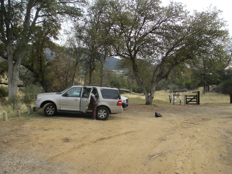
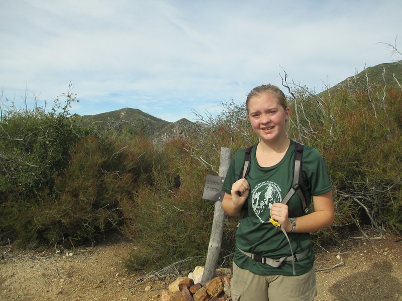
Here's the trailhead and the start of the hike:


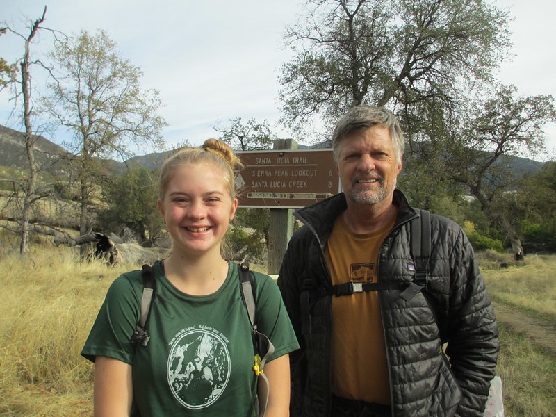
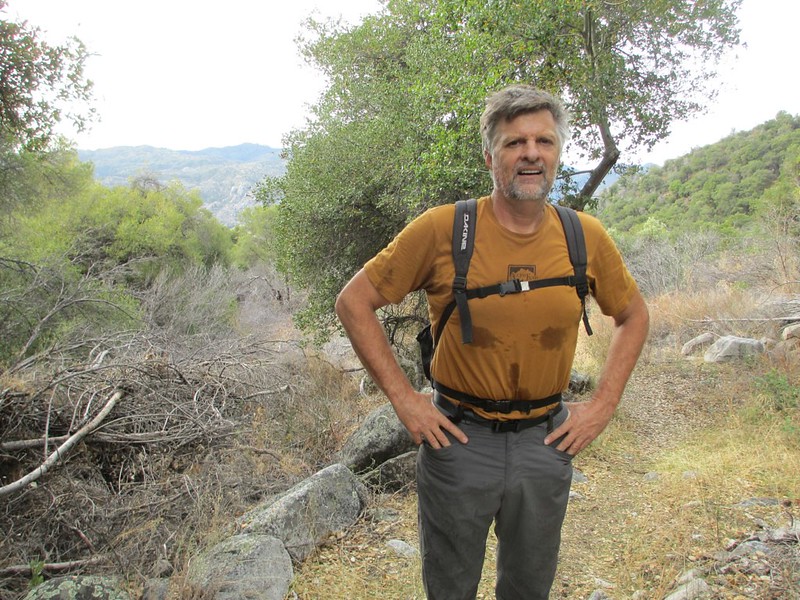
Vicki hiked partway in with us:


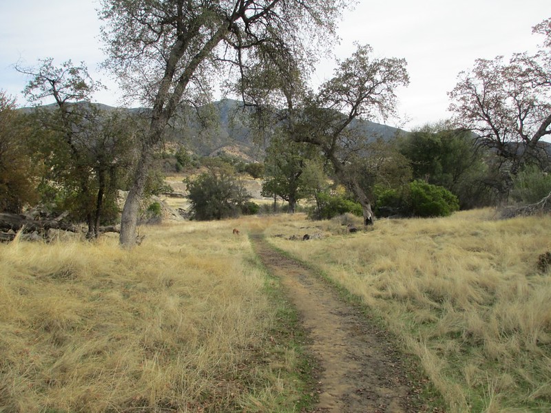
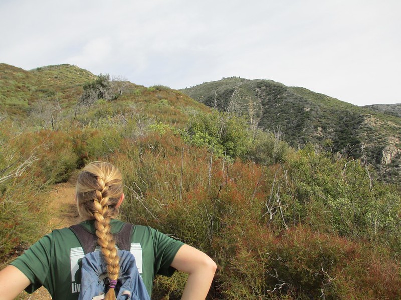
And then the uphill began:


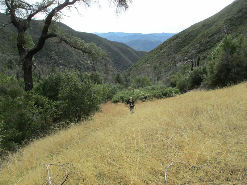
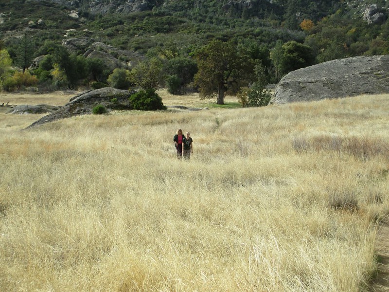
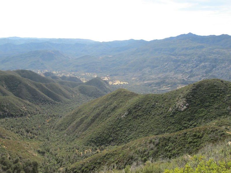
Looking down the canyon we came up:


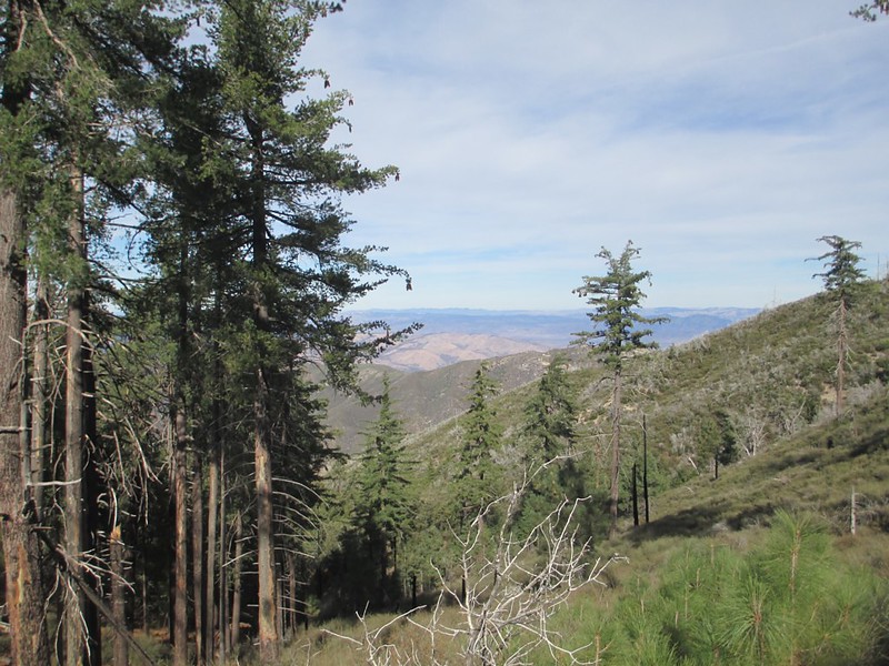
As we neared the summit we moved around onto the northeast side of the peak. The hiking there is through gorgeous stands of Ponderosa and Sugar pine:


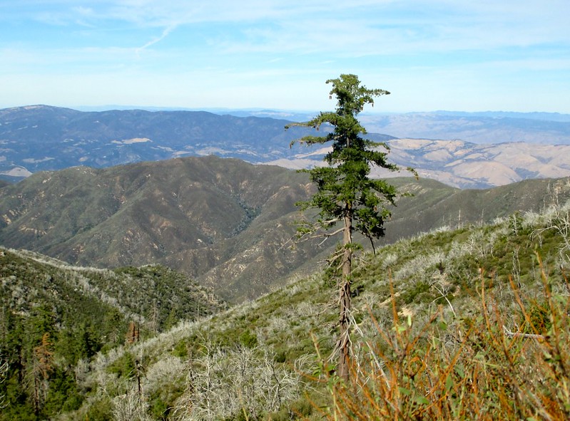
A lone sugar pine, looking east:


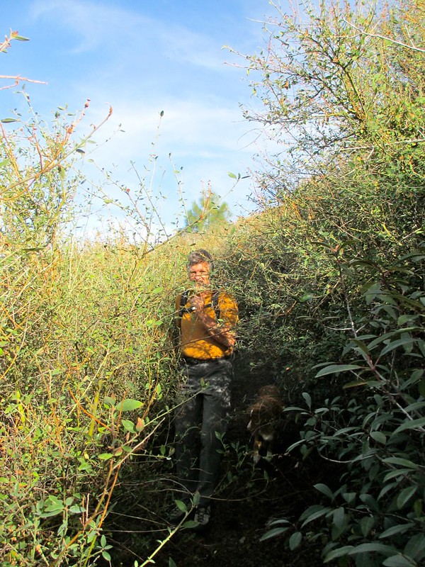
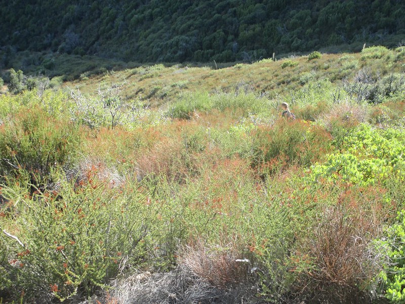
The same side of the peak had the only true brushing of the whole hike (and there, the trail-tread was very easy to follow):


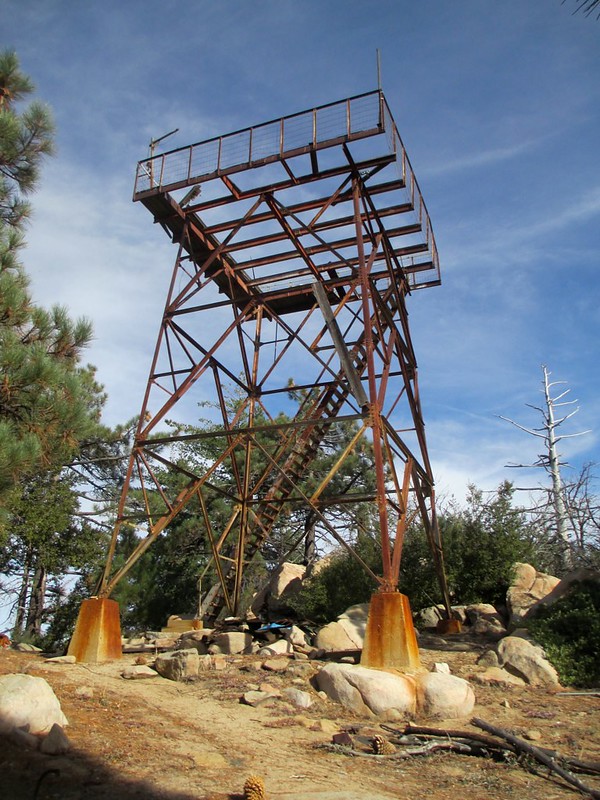
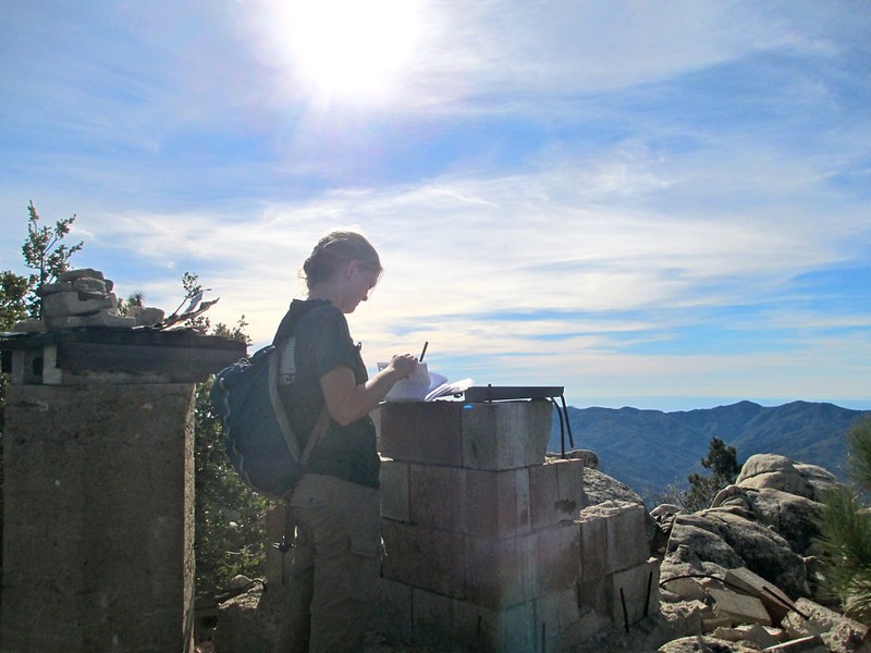
The old, abandoned lookout tower (which is actually on a secondary summit, 1/10th of a mile from the real top):


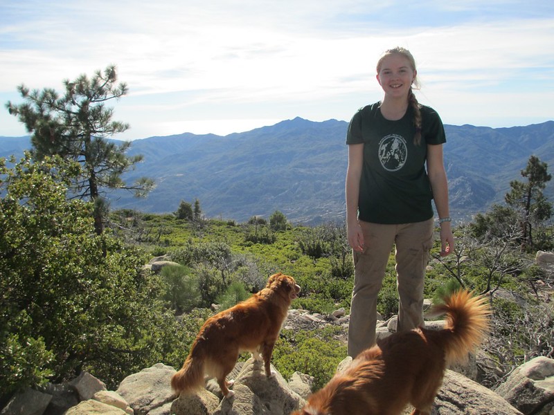
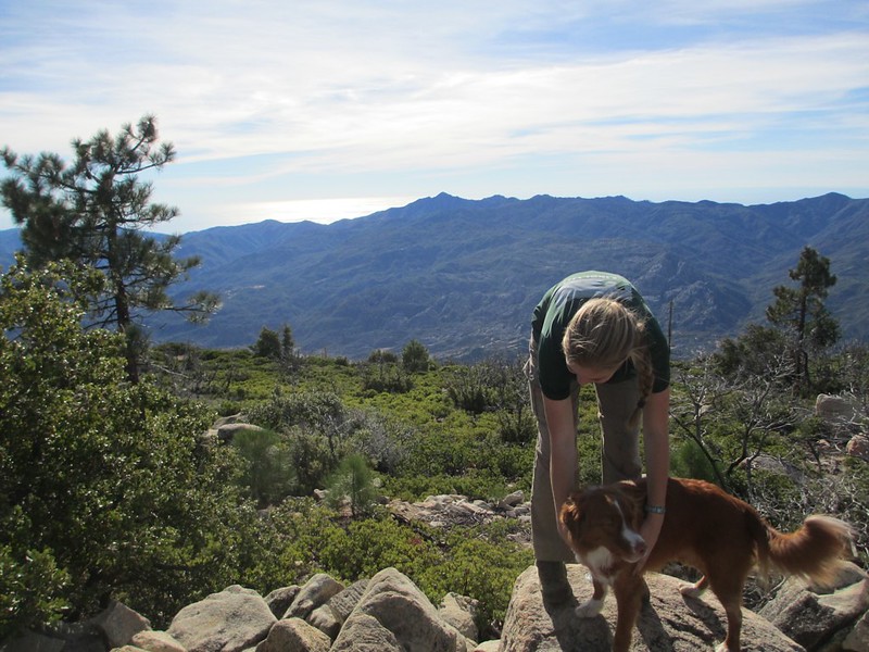
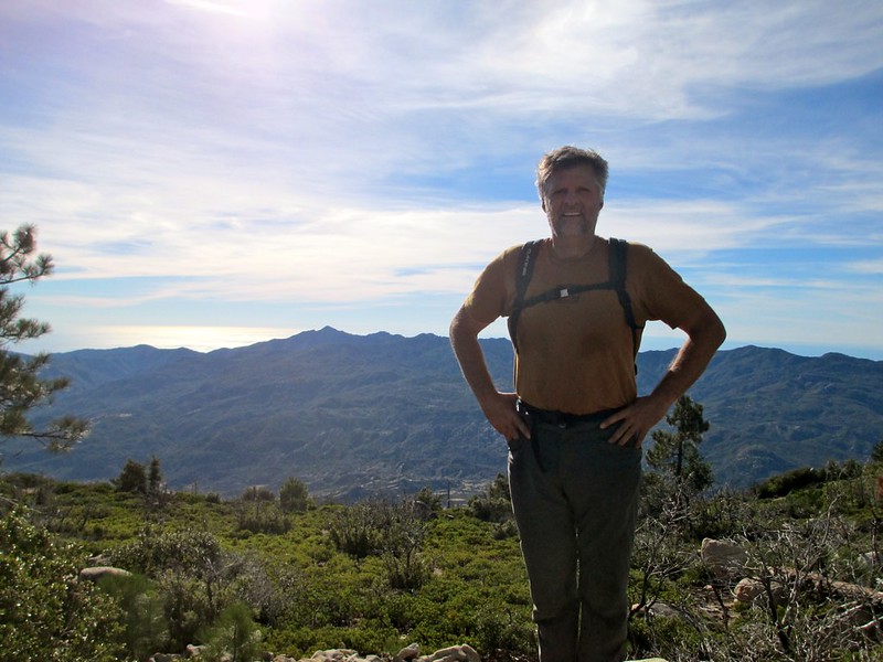
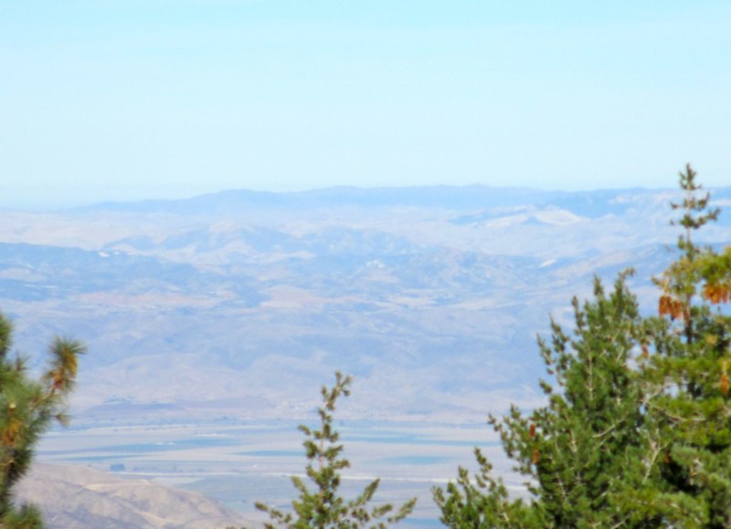
And the views from the summit (squint and Japan seems visible out over the Pacific):


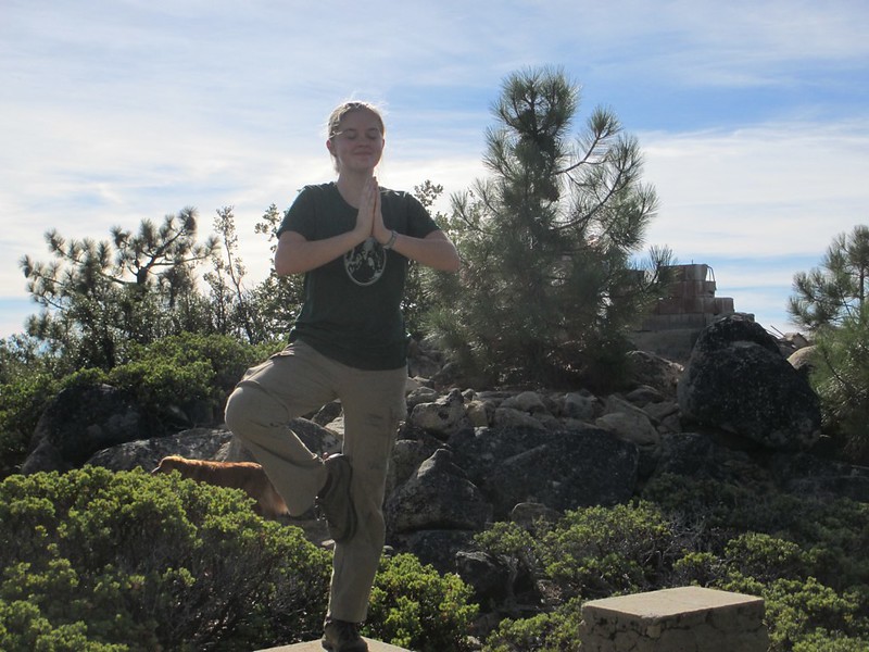
Goofing off on a leftover concrete stanchion:


This view is from slightly east of the summit; looking east over the Salinas Valley, Soledad, and the Chalone Peaks at Pinnacles. I'd actually expected to see Pinnacles clearly from the top of Junipero Serra. But once there I realized that we were looking down on it, even down at the High Peaks. And so the features that I expected to see (rocks, up high) blended completely with the higher ranges to the east of Pinnacles:


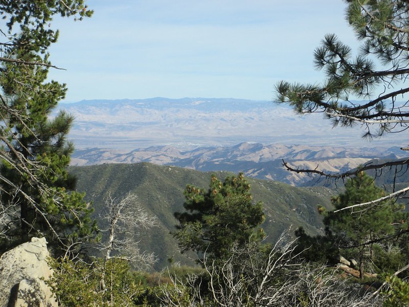
I believe that the High Peaks are visible in this shot, just left of the tops of the right-most tree branches:


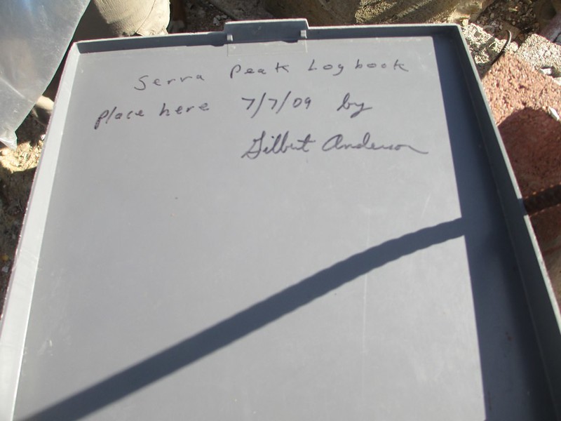
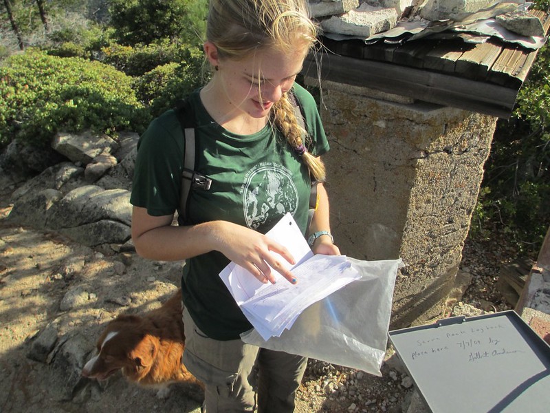
Reading and signing the summit register:


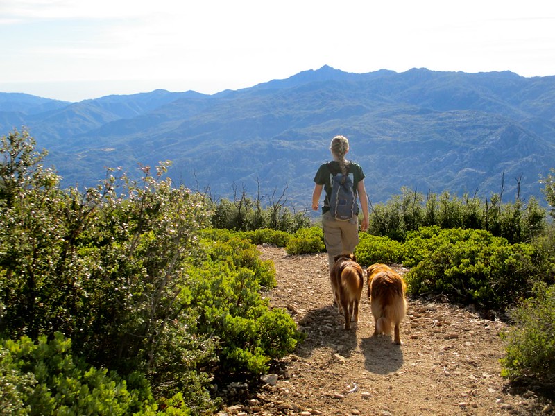
And then the descent. It took us 3 1/2 hours to hike to the summit. And two hours to descend:


And now I've got four more county highpoints to do (out of 56). And Tricia's done 35 of 56 (and she's only 15 years old).


clink

  • Meanderthal
  • ****
  • Posts: 4004
Re: Yolo County Highpoint
« Reply #4 on: November 22, 2017, 01:27:22 PM »
Quote
And Tricia's done 35 of 56 (and she's only 15 years old).

 The percentage of modern men that will be able to keep up with Tricia is dropping steadily.  :)
Causing trouble when not climbing.

Brad Young

  • Grand Master
  • ***
  • Posts: 6664
Re: Yolo County Highpoint
« Reply #5 on: November 22, 2017, 01:50:06 PM »

The percentage of modern men that will be able to keep up with Tricia is dropping steadily.  :)


Well that got a laugh out of Vicki. And it may well be true.

Meanwhile, I sent a link of this report to my mother (sending these to her is one of the main reasons I do these reports - well that and the fact that I love all of you).

Leave it to a mother! Here's the reply I got back [emphasis added in bold]:

"Well, this one sorta takes the cake.  The burrs, the stickers, the dirt, the shirt buttoned the wrong way.  Very impressive.  Always love seeing these."

::)  ::)


NOAL

  • Pin Heads
  • *
  • Posts: 1326
  • Hit Lichen Scrub
Re: Yolo County Highpoint
« Reply #6 on: November 22, 2017, 06:06:15 PM »
there's a wrong way to button a shirt?

clink

  • Meanderthal
  • ****
  • Posts: 4004
Re: Yolo County Highpoint
« Reply #7 on: November 23, 2017, 06:59:42 AM »
Quote
the shirt buttoned the wrong way.

Affention to DETAIL, wow. Make sure Mom proofreads your next book before publishing.
Causing trouble when not climbing.

mungeclimber

  • PermaBan
  • ***
  • Posts: 6665
    • http://www.sonorapassclimbing.com
Re: Yolo County Highpoint
« Reply #8 on: November 24, 2017, 07:48:24 AM »
Tell her that's how the cool kids wear it these days. :)
On Aid at Pinns... It's all A1 til it crumbles. - Munge

Brad Young

  • Grand Master
  • ***
  • Posts: 6664
Re: Yolo County Highpoint
« Reply #9 on: November 29, 2017, 04:32:55 PM »
While we were highpointing, Katie was spending the week in Joshua Tree (she went directly there after getting her WFAR certificate).

She showed up at Thanksgiving looking like... well, like she'd been climbing in J Tree for a week:


mynameismud

  • unworthy
  • Posts: 5972
    • Mudncrud
Re: Yolo County Highpoint
« Reply #10 on: November 30, 2017, 01:34:33 AM »
Looks healthy
Here's to sweat in your eye

Brad Young

  • Grand Master
  • ***
  • Posts: 6664
Re: Yolo County Highpoint
« Reply #11 on: November 30, 2017, 06:02:05 PM »
Turning now to events involving the other daughter....

Most readers of this forum know Tricia and would likely agree that she isn't easily intimidated. School? Nah, she's got that dialed and almost always gets A+ with an occasional A. Volleyball? Not really, not once she made the team. Band? Pure joy, no intimidation. Hiking? Er, right, none that I could do with her would phase her. Climbing? Occasionally she's a little nervous.

So it was interesting to see her this morning, just before she left for school. This was about three hours before her first-ever driving lesson (with a school, as required by law). She was pretty nervous!

I texted her afterward and she admitted that it had gone fairly well. And later, when I picked her up to go home, I let her drive. My little baby is growing up  ;)

mungeclimber

  • PermaBan
  • ***
  • Posts: 6665
    • http://www.sonorapassclimbing.com
Re: Yolo County Highpoint
« Reply #12 on: November 30, 2017, 06:30:31 PM »
Not another one!  These marks against my age will not stand!  ;D
On Aid at Pinns... It's all A1 til it crumbles. - Munge

Brad Young

  • Grand Master
  • ***
  • Posts: 6664
Re: Yolo County Highpoint
« Reply #13 on: November 30, 2017, 06:38:33 PM »

Not another one!  These marks against my age will not stand!  ;D


Your age? Sh#t, Vicki still calls you "the kid."

JC w KC redux

  • Agent Orange
  • ****
  • Posts: 6563
  • my density has brought me to you...
Re: Yolo County Highpoint
« Reply #14 on: November 30, 2017, 07:22:42 PM »
She's got it under control.
Our little baby is all grows up.
She's all grows up and she's all grows up and she's all grows up.
One wheel shy of normal

Brad Young

  • Grand Master
  • ***
  • Posts: 6664
Re: Yolo County Highpoint
« Reply #15 on: June 28, 2020, 07:18:57 AM »
A normal, logical person (J.C. for instance) would likely assume that the highest point of Lassen County is Lassen Peak. And they’d be wrong. Lassen Peak is not in Lassen County. And one guess, reader, about whether Mount Shasta is the high point of Shasta County.

Lassen’s high point is, instead, Hat Mountain. It’s far enough into the northeast part of the state that we drove up by going over Sonora Pass, through Reno, and then east before heading farther north (passing the highway that leads to Burning Man - no thank you - on the way).

Hat Mountain as seen on the drive up (from the north):


And from where we parked to start the hike:


(And those of you who know both daughters - tell me that Tricia in the photo above doesn't appear to also be Katie.)

The approach to the peak starts with downhill cross country to Lost Lake (how many Lost Lakes are there, just in California?):


Uphill follows, all cross-country, getting steeper and rougher as one ascends (nearing the top):


Looking north to Eagle Peak, the high point of Modoc County:


On the summit plateau:


The "mountain" is more of a plateau. And there are two points that are close enough in elevation that one "tags" them both to be sure (and there's a summit register on each!). Heading to the north high point:


Looking south from that high point (Tricia loves signing in to summit registers):


Our sign-in:


A high-pointer that is serious about the sport knows the name Gary Suttle. Gary is the author of the California County high points guidebook. Suttle was the first to summit all 58 county high points (he finished in 1992). He passed away about ten years ago. And so it was a huge treat to see his signature in this register:


We got faint views of Lassen Peak to the southwest and Shasta to the west-southwest. The photo shows Lassen (barely - dead center on the skyline). Shasta was so faint that it literally can't be picked out in the photo I took:


On the south highpoint:


A second register:


All in all, a fun and easy hike leading to a great view (and, looking back,  a huge contrast in effort-used compared with the next day!). All in a part of California that we'd never seen from any vantage point (the small town of Cedarville - where we spent two nights at a friend's second home - is a wonderful, wonderful slice of rural California).


Brad Young

  • Grand Master
  • ***
  • Posts: 6664
Re: Yolo County Highpoint
« Reply #16 on: June 28, 2020, 08:30:07 AM »
In contrast to Hat Mountain’s six-mile round trip, the eleven miles to the high point of Modoc County was physically very, very strenuous. About two thirds of this hike is on trail; including some of the most sustained “steepness” that we’ve encountered on a manmade trail anywhere. A total of 4,000 feet of elevation gain in 5 1/2 miles. The last quarter mile in steep, steep scree where the “one step up, half a step down” syndrome is unavoidable.

Above North Emerson Lake:


First view of Eagle Peak (more than halfway through the hike):


Closer views of the last uphill hiking (as is common, the photos don’t do it justice - this section is much longer and steeper than it appears here):


Rounding a low rock ridge to the start of the plateau which leads to the last slope:


Starting the uphill trudge (trudge!!):


Endless scree:


Snow patches gave some relief:


Last bit to the top (now on the summit plateau):


And on top, a very, very weird event - swarms of ladybugs at 9,980 feet elevation (the first shot contrasts flying ladybugs against the black shadows of a rock):


And although ladybugs sound "pretty," they're annoyingly persistent (unlike flies, ladybugs stay put when waved or swiped at). They made hanging at the summit very uncomfortable (yeah, two really tough peak-baggers chased from the summit by... insects).

We signed in at least:


Looking south to Hat Mountain:


Summit shots:


Mount Shasta, faintly to the southwest:


And down the scree fields (descending these took about one quarter the effort as going up):


By the time we finished half of the descent we were both pretty hammered. Meanwhile Vicki waited patiently at the car where we arrived two and a half hours late from an intended "five hour hike." Are her reserves of patience completely without limit? (Hopefully we'll never find out.)

I've now got Bear Mountain in Del Norte County left undone. That's a life goal for me - now nearly done (no need to die soon once I'm finished though).


clink

  • Meanderthal
  • ****
  • Posts: 4004
Re: Yolo County Highpoint
« Reply #17 on: June 28, 2020, 09:08:51 AM »
No need to die. You haven't done all the county low points.
Causing trouble when not climbing.

Brad Young

  • Grand Master
  • ***
  • Posts: 6664
Re: Yolo County Highpoint
« Reply #18 on: June 28, 2020, 09:13:07 AM »

No need to die. You haven't done all the county low points.


But, one suspects, you're close.

(Love always....)


F4?

  • unworthy
  • Posts: 6172
Re: Yolo County Highpoint
« Reply #19 on: June 29, 2020, 01:52:24 PM »
Nice I hope the Del Norte point is not too hard.

I keep thinking about taking the boys to hike Junipero peak in the winter.
I'm not worthy.