Day Two, August 5:
Sometimes PCT trips center on how many miles can be done. This is certainly true for through-hikers who’ve got 2,650.1 miles to do in a single season. They’ve got their own specialized language centered on making miles and therefore progress. For example, through-hikers call a rest day a “zero day.”
Ten years ago Tricia and I were doing this section and going for miles. We had three days for the backpack part of the trip and were just off from a nine day venture earlier in the month. We wanted to get more done that summer. Tricia and I had storms while we hiked too.
This 2023 trip was different. Katie had five days to spend and I still felt that the trip ten years ago hadn’t left much time to “look around,” although getting the miles done then had it’s own type of high, high satisfaction too.
The looking around part of this trip started today.
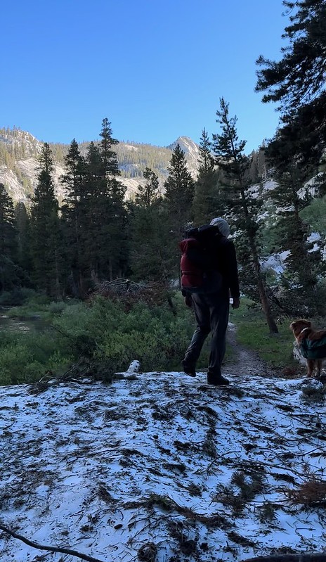
First a fairly cold start, uphill for miles, heading to Silver Pass along the High Sierra’s Silver Divide:


We encountered a certain flower this morning that was almost phosphorescent even when in the shade:

Past cascades, up onto canyon walls, still gaining elevation:


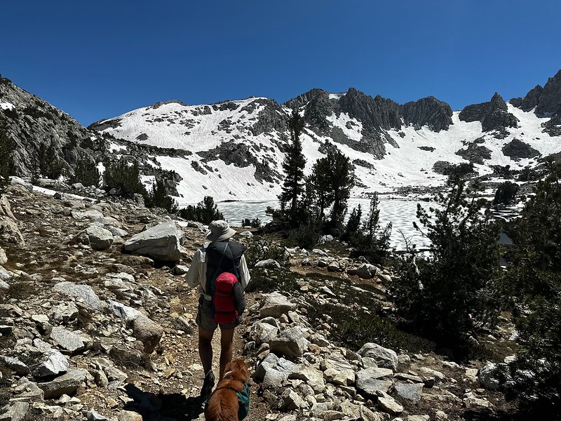
A long, south-to-north valley south of Silver Pass is very open. At around 10,000 feet, Silver Pass Lake was still somewhat iced over:


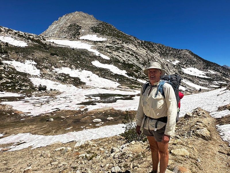
Katie has been a professional backpacking guide now for six summers. The ease with which she operates while backpacking is amazing. All systems go, ready in any situation. I absolutely LOVED hanging out with her:

One of the ways I hoped to see more this trip was by climbing a peak or two while were out. For through-hikers (and for me and Tricia) the time to summit a peak isn’t well spent - there are miles to go. On this trip Katie was up for taking time to see the Silver Divide more carefully (actually, she was “down” for doing this, but kids these days use weird language - when one wants to do something, one is “up” for it, not “down" for it… right Katie?).
Today we went for unnamed Peak 12,221 which fairly dominates all of Silver Pass and the surrounding area. It’s southwest side is a class two hike up:


About two thirds of the way up we stopped to eat lunch. One of the absolute treats of gaining elevation in the High Sierra made an appearance where we stopped. This treat, a flower called Polemonium Eximium (Sky Pilot in plain English), grows only in the higher reaches of the range. Masses of purple blooms catch the eye, but the scent is heavenly. Picture lupine, but not at all a faint aroma like one gets with lupine. This flower is just plain wonderful:


After lunch, Katie was having a light ankle issue and decided to go down. Halifax and I continued the long slog and summited:


The views from 12,221 included, to the south, our starting point: Lake Thomas Edison:

And to the north, The Minarets, Mount Ritter and Banner Peak (all west of Mammoth Lakes):

Once back on the trail we quickly reached Silver Pass:
Although its south side was relatively snow-free, the north side still had serious snow coverage. We both did sitting glissades down 100 feet of steeper snow (and found it hard to supress giggles while we did so):


Once over the pass, more snow and non-snow hiking took us past still frozen Chief Lake:


And shortly we found a semi-sheltered spot, up really high, with nice views and nearby water, just off the trail. It was only 3:00, but we’d done a heck of a lot of up for the day and decided to stay:

This had been one of my great days in the High Sierra. Spent with Katie and with time to get to know the area a little. Life simply doesn’t get any better.


