Monday and Tuesday, August 8 and 9:
The PCT passes Mount McLoughlin to its east, three miles from the summit. There's a trail to the top, and the PCT guidebook highly recommends it as a side trip. And Tricia really wanted to do this summit (me too). We'd been looking at McLoughlin since June, and it sure seemed like the highest thing in far southern Oregon.
But starting from Highway 140, summiting, and then continuing to a PCT exit/side-trail to Fourmile Lake seemed like a bone-crushing type day. So we decided to do the hike to Fourmile Lake (spelled correctly) one day and then summit McLoughlin the next. The two days' paths would cross, sharing half a mile along the way.
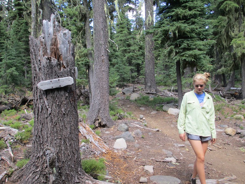
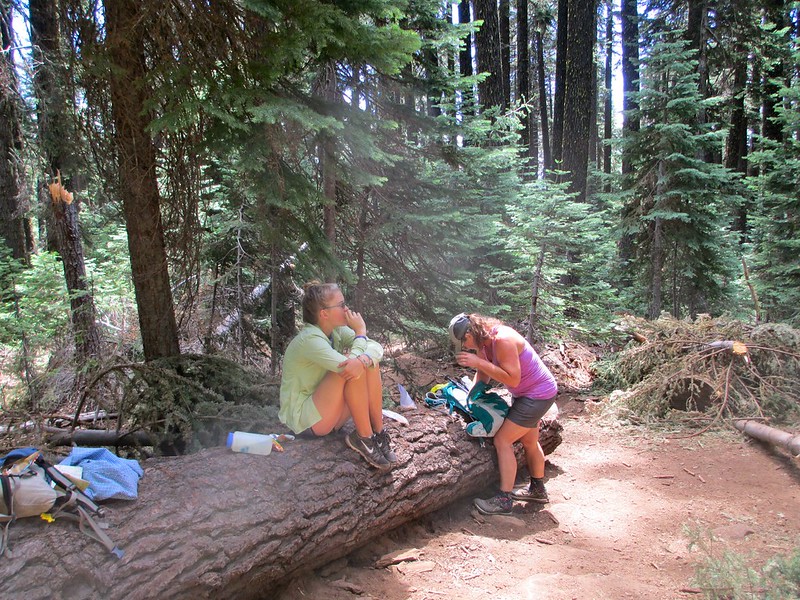
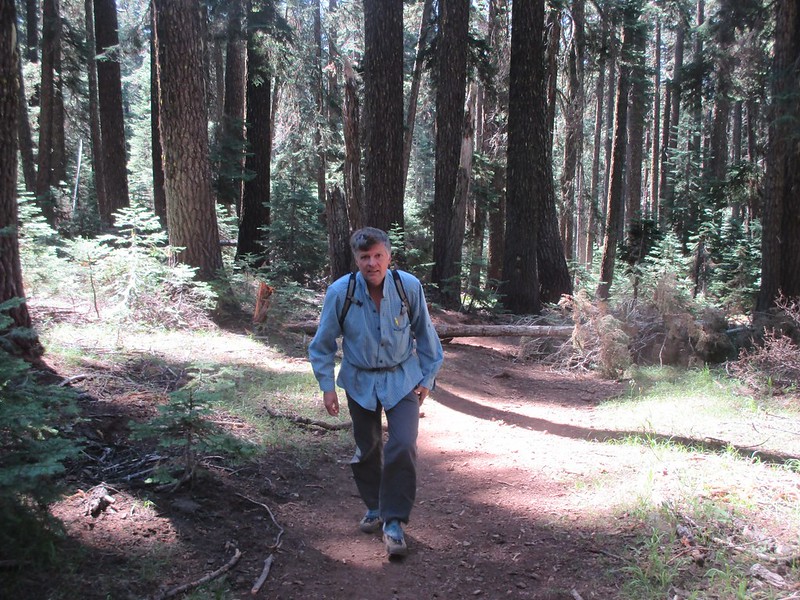
The hike to Fourmile was definitely forest marching:
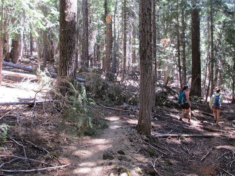
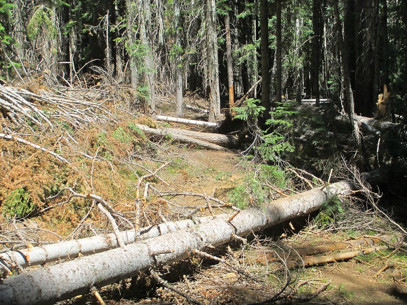
We gained 1,200 feet of elevation, but that wasn't the hard part. The hard part of this hike was the incredible number of downed trees. And some of them quite complex, almost as if designed to slow a determined hiker:
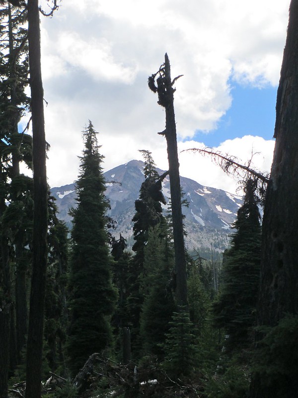
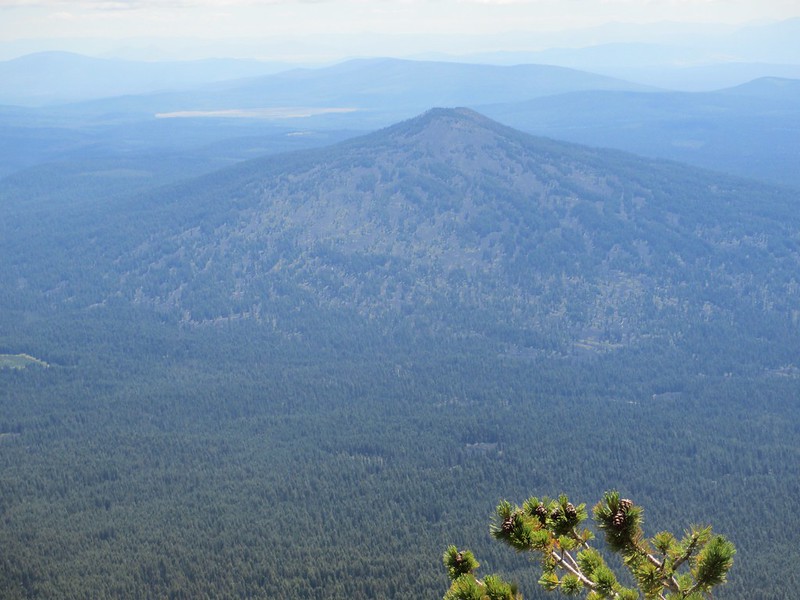
We took one break and got one view through the forest of this impressive peak:
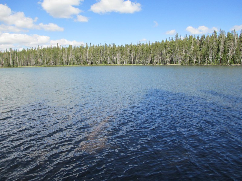
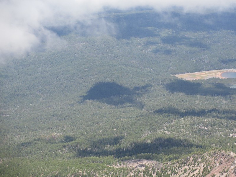
Then we exited the PCT. Heading to Fourmile Lake we passed Squaw Lake, which I found to be typical of the area: large and utterly surrounded by forest:
We camped that night again with Vicki.
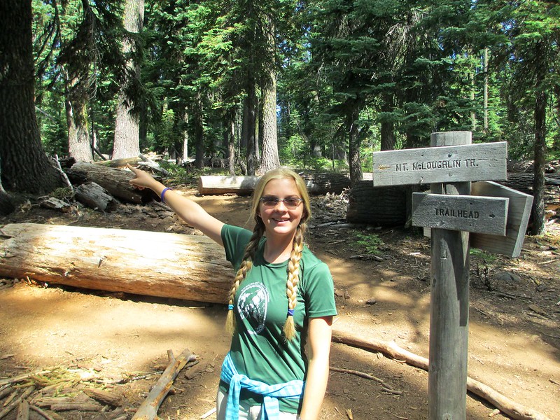
Sharon's knees begged out of the McLoughlin ascent the next day (in retrospect, a really, really good decision). Tricia and I got our usual, leisurely, late-morning start. We were surprised at the trailhead by the severe-seeming warnings at the trail-start kiosk:
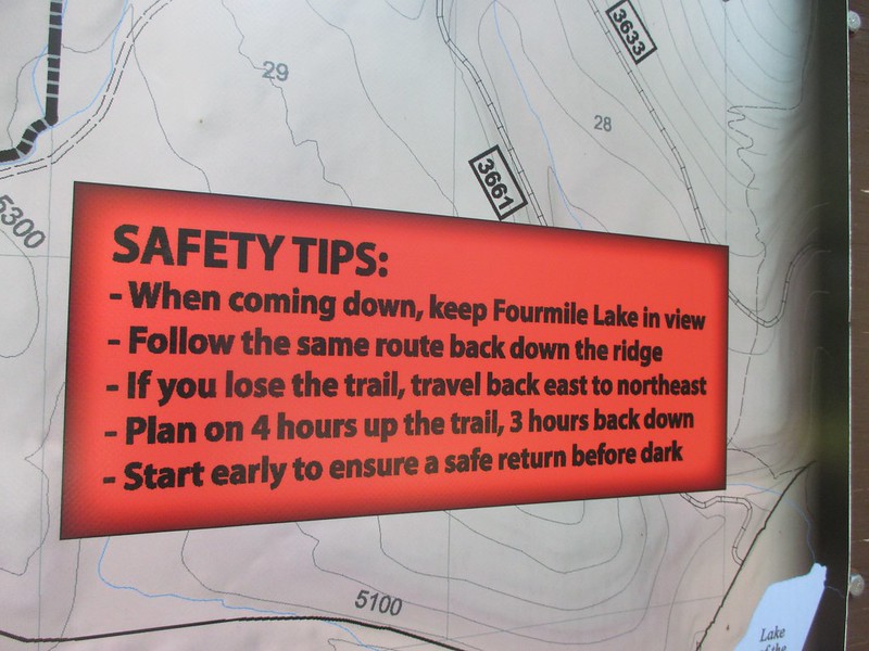
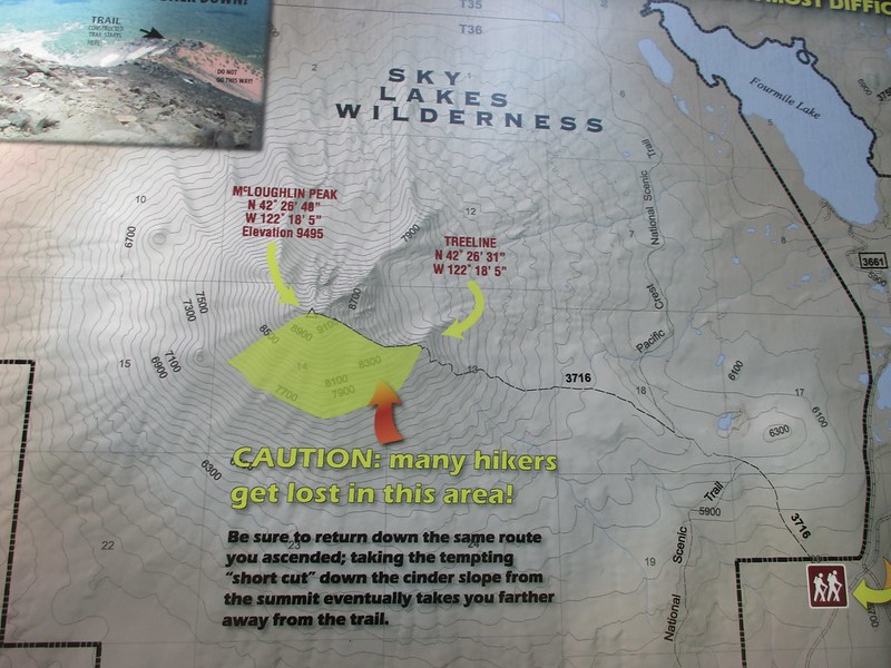
Apparently is is very common for people to get sucked into the "easy" looking descent off this peak, and then to be way off trail out in forest and lost. Being new to the area, we payed attention to the warnings (and I could see on our descent how the wrong way looks "right").
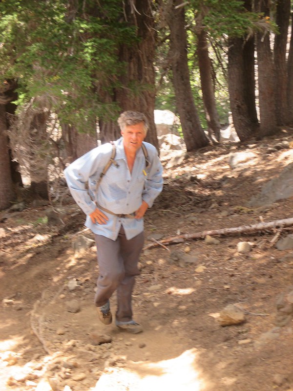
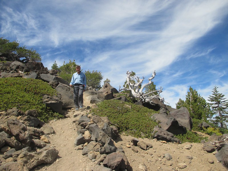
On our ascent, forest hiking turned to uphill forest hiking, turned to steep uphill forest hiking:
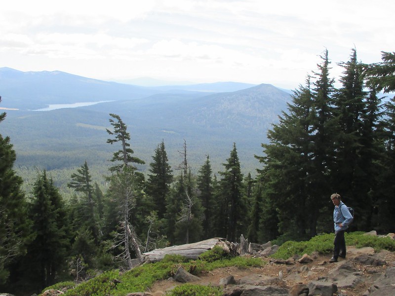
Slowly the views got good. We saw Upper Klamath Reservoir from quite a distance:
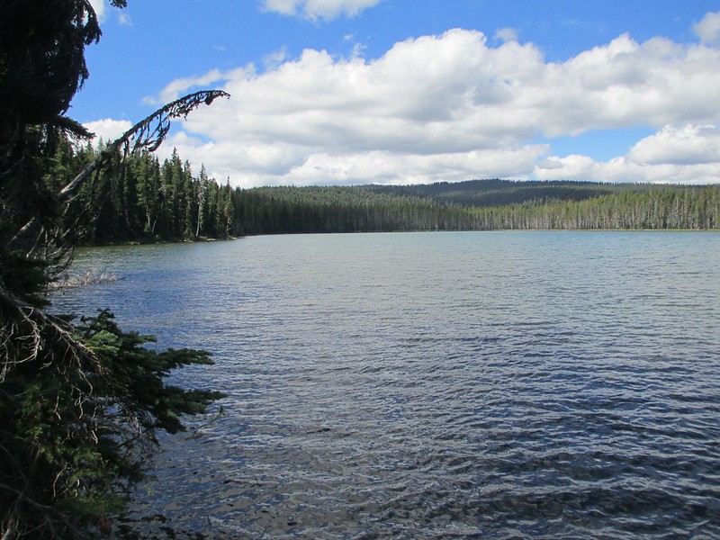
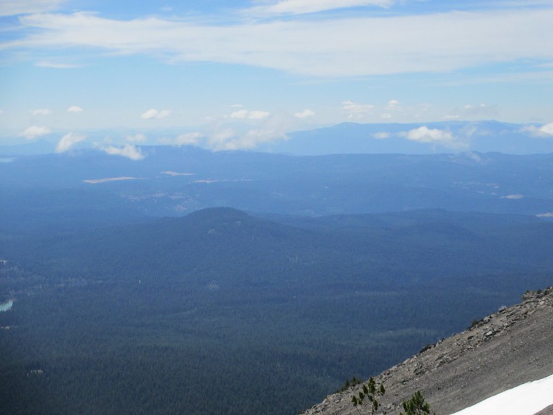
Fourmile Lake and the relatively flat area the PCT traverses near it:
Brown Mountain, which we'd traversed on the trail two days ago (the PCT goes along the right side of the mountain in this photo):
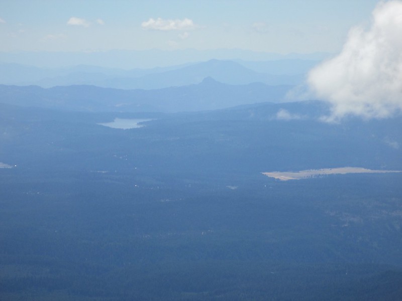
And we had this view of Hyatt and Howard Prairie Lakes, Pilot Rock and Mount Ashland, and all of the country the PCT goes through for about 40 miles (the rock and the mountain are harder to make out in this photo than they were while we were there):
We started to emerge above tree-line:
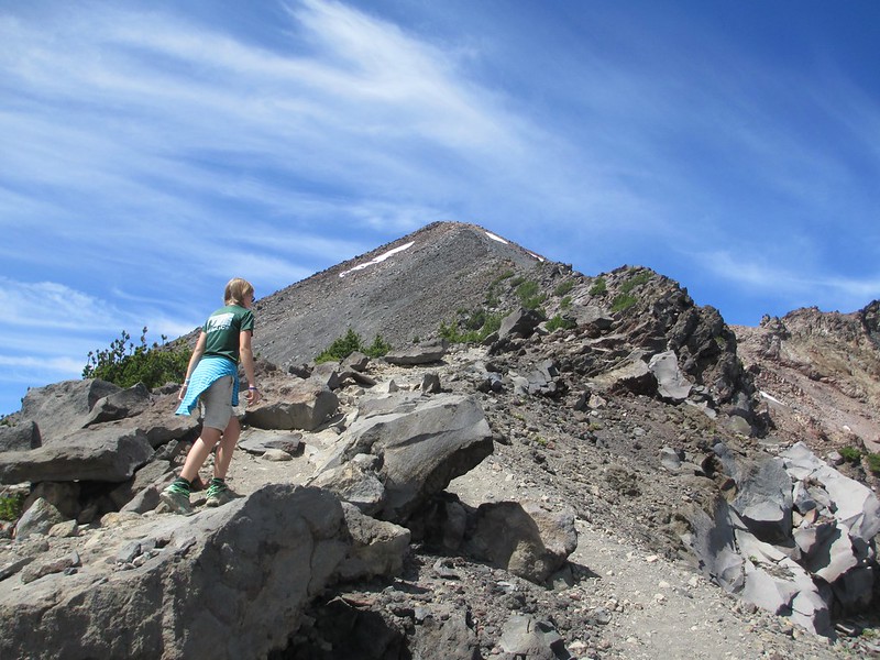
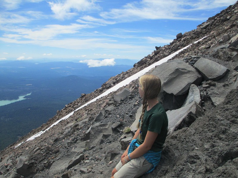
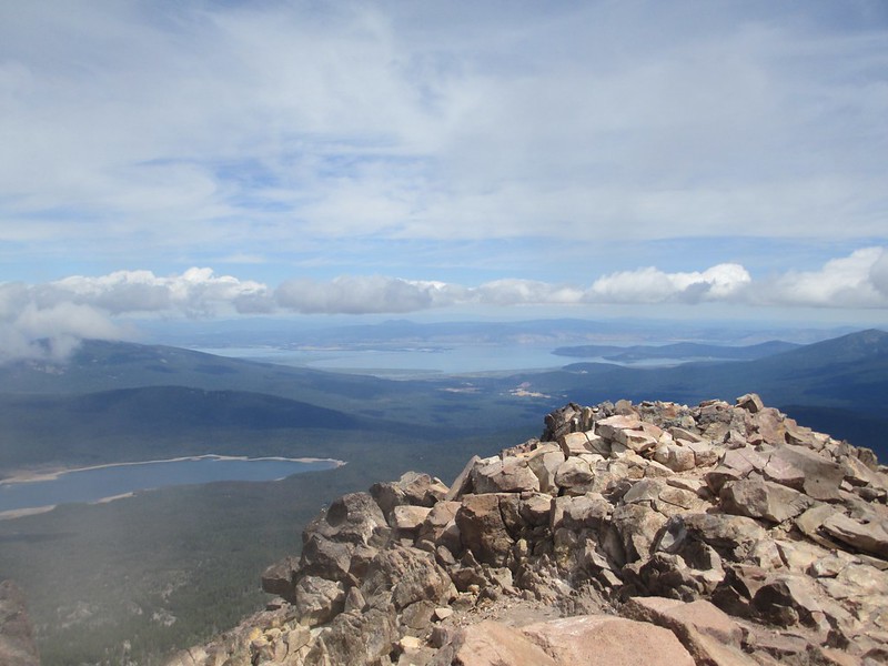
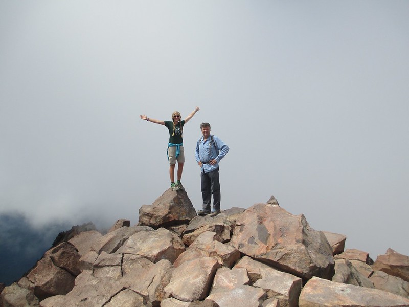
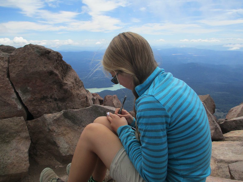
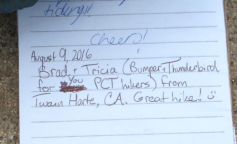
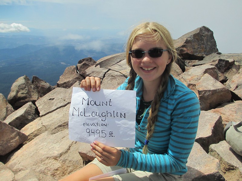
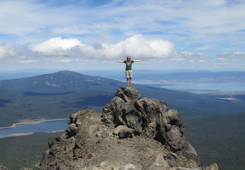
The summit is fairly small, and the views are 360 degrees:
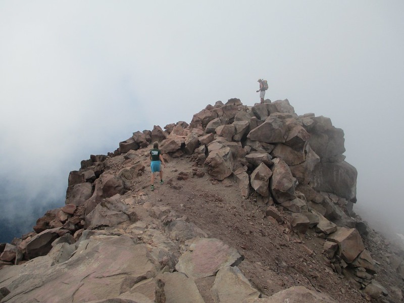
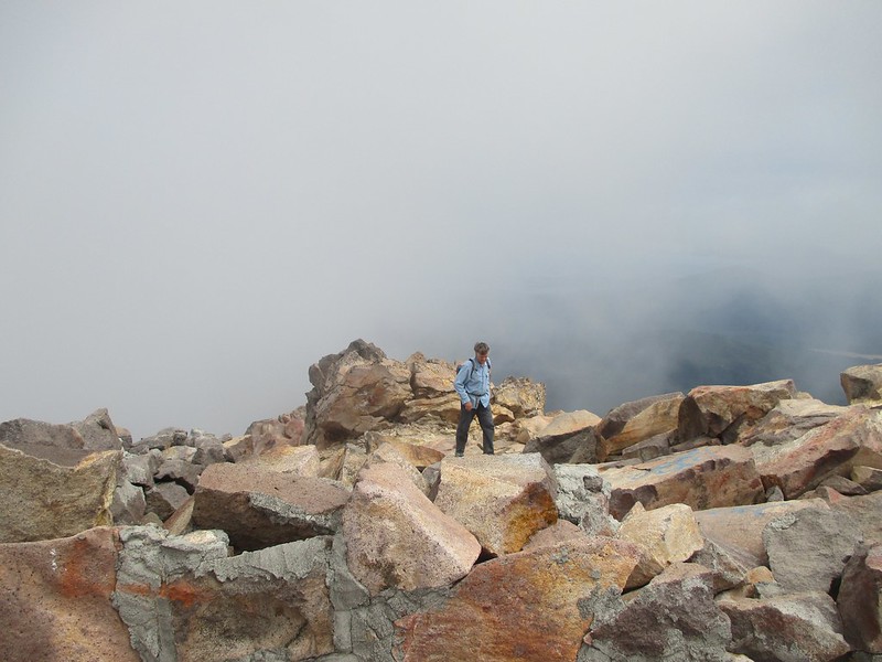
The descent came next:
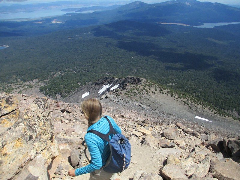
I took this glory shot of Tricia on a protruding gendarme:
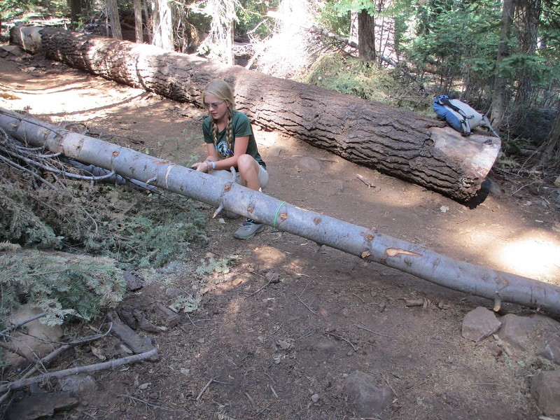
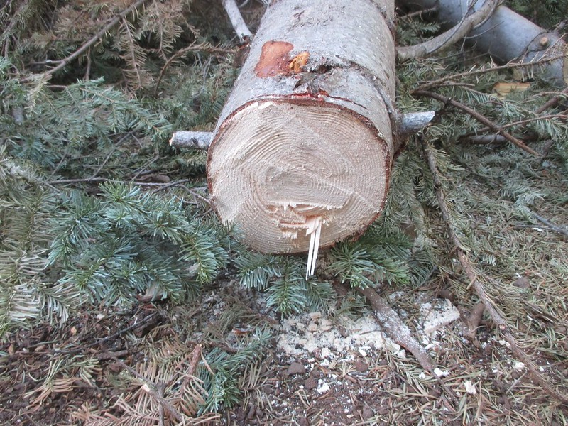
Once back on the PCT part of today's hike we contributed a little tiny bit to trail maintenance. I had a small, foldable saw with us in the car, and I'd brought it today. We cleared one (one!) of the medium-size trees that blocked the trail. The tree was still green, and our tool was too small. It took half an hour to move this one blockage (tomorrow's photos and text will make it even more clear that the Sky Lakes Wilderness desperately needs a trail crew for 40 or so miles of PCT that is horribly, horribly blocked by downed trees):
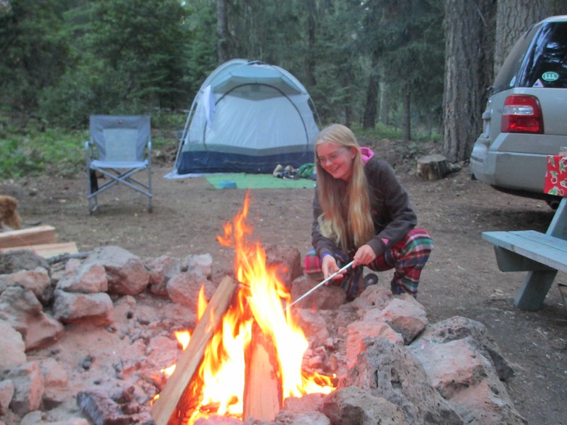
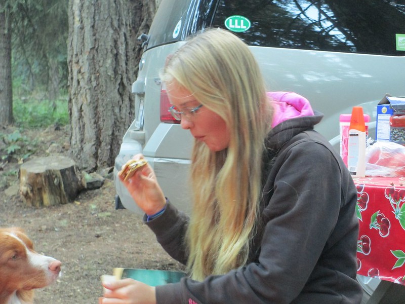
We ended this satisfying day with a campfire (and smores; Tricia still loves to make and eat them, and I sure appreciate the ones she makes for me too):